Transport Functions
Road
Multimodal
Hub Profile
Place type
Populated place
Region
North Carolina
Time zone
America/New_York
Elevation
1,025 m
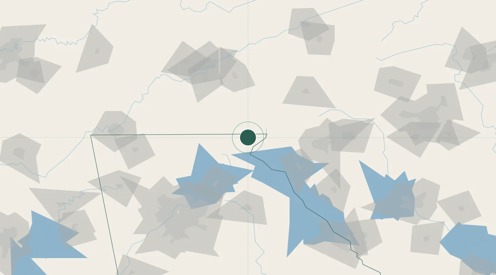
Location
Nearby Logistics Neighbours
Cities
- 1Clayton9 km
- 2Galloway22 km
- 3West Union39 km
- 4Clarkesville40 km
- 5Helen41 km
Ports
- 1Beaufort376 km
- 2Port Royal381 km
- 3Savannah384 km
- 4Charleston401 km
- 5Georgetown416 km
Airports
Trade Zones
- 1FTZ No. 038 Spartanburg County104 km
- 2FTZ No. 148 Knoxville138 km
- 3FTZ No. 026 Atlanta161 km
- 4FTZ No. 134 Chattanooga182 km
- 5FTZ No. 204 Tri-Cities192 km
DatabookThe Record of Consolidated Knowledge
United States beyond logistics?