Transport Functions
Port
Hub Profile
Place type
Provincial seat
Region
Georgia
Population
2,234
Time zone
America/New_York
Elevation
588 m
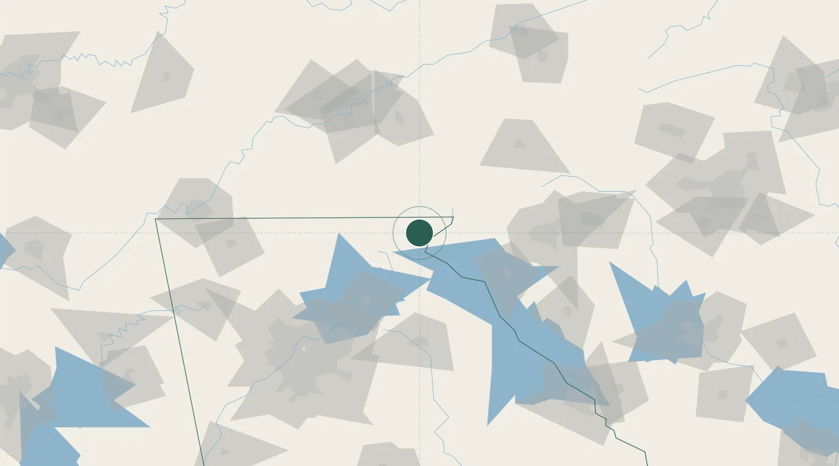
Location
Nearby Logistics Neighbours
Cities
- 1Valley9 km
- 2Galloway23 km
- 3Clarkesville30 km
- 4Helen34 km
- 5West Union36 km
Ports
- 1Beaufort370 km
- 2Port Royal375 km
- 3Savannah377 km
- 4Charleston396 km
- 5Georgetown414 km
Airports
Trade Zones
- 1FTZ No. 038 Spartanburg County105 km
- 2FTZ No. 148 Knoxville146 km
- 3FTZ No. 026 Atlanta153 km
- 4FTZ No. 134 Chattanooga182 km
- 5FTZ No. 204 Tri-Cities201 km
DatabookThe Record of Consolidated Knowledge
United States beyond logistics?