UN/LOCODE hub · United States
USVVG
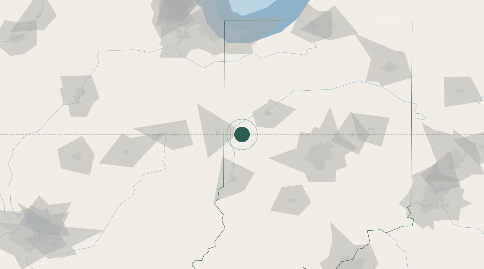
Veedersburg
40.1167°, -87.2667°
2,095
Population
2
Transport functions
Transport Functions
Rail
Road
Hub Profile
Place type
Populated place
Region
Indiana
Population
2,095
Time zone
America/Indiana/Indianapolis
Elevation
193 m
Location
Nearby Logistics Neighbours
Cities
- 1Attica19 km
- 2Tilton33 km
- 3Georgetown, Fayette35 km
- 4Russellville38 km
- 5Shadeland, Tippecanoe39 km
Ports
- 1Gary167 km
- 2Indiana Harbor173 km
- 3Calumet Harbor181 km
- 4Michigan City182 km
- 5Chicago198 km
Airports
Trade Zones
- 1FTZ No. 072 Indianapolis92 km
- 2FTZ No. 245 Decatur155 km
- 3FTZ No. 152 Burns Harbor168 km
- 4FTZ No. 125 South Bend190 km
- 5FTZ No. 022 Chicago198 km
DatabookThe Record of Consolidated Knowledge
United States beyond logistics?