Transport Functions
Road
Multimodal
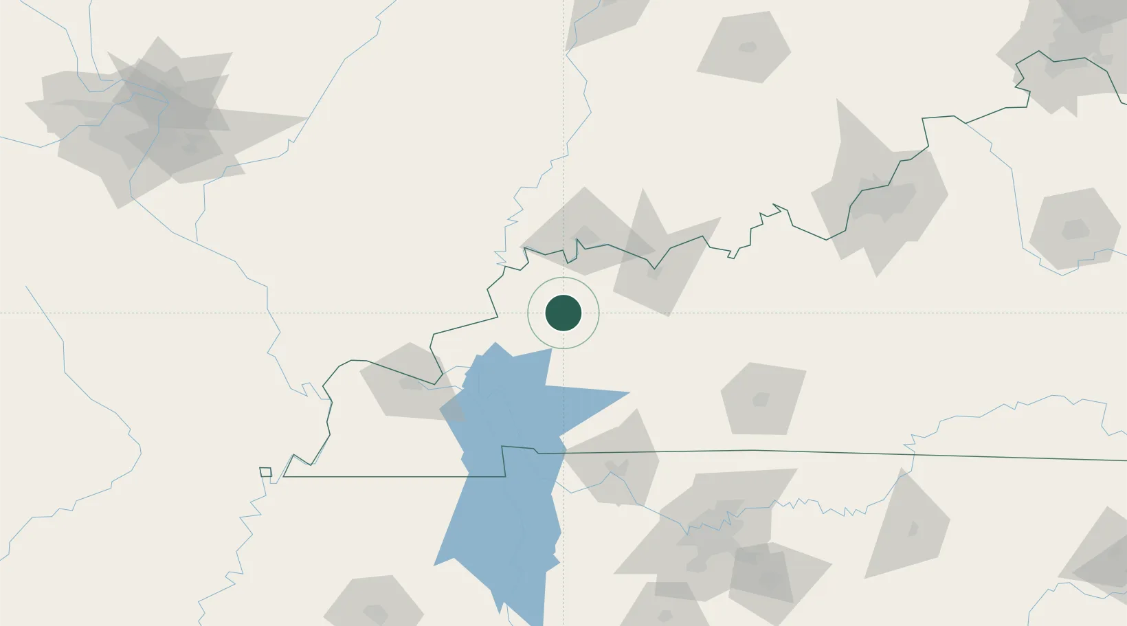
Hub Profile
Place type
Provincial seat
Region
Kentucky
Population
898
Time zone
America/Chicago
Elevation
162 m
Location
Nearby Logistics Neighbours
Cities
- 1Providence, Webster15 km
- 2Sebree17 km
- 3Robards20 km
- 4Hanson22 km
- 5Sturgis27 km
Ports
- 1Port Of Memphis352 km
- 2Gary457 km
- 3Indiana Harbor462 km
- 4Calumet Harbor469 km
- 5Michigan City474 km
Airports
Trade Zones
- 1FTZ No. 177 Evansville54 km
- 2FTZ No. 294 Western Kentucky94 km
- 3FTZ No. 078 Nashville158 km
- 4FTZ No. 029 Louisville185 km
- 5FTZ No. 283 West Tennessee265 km
DatabookThe Record of Consolidated Knowledge
United States beyond logistics?