Transport Functions
Road
Multimodal
Hub Profile
Place type
Populated place
Region
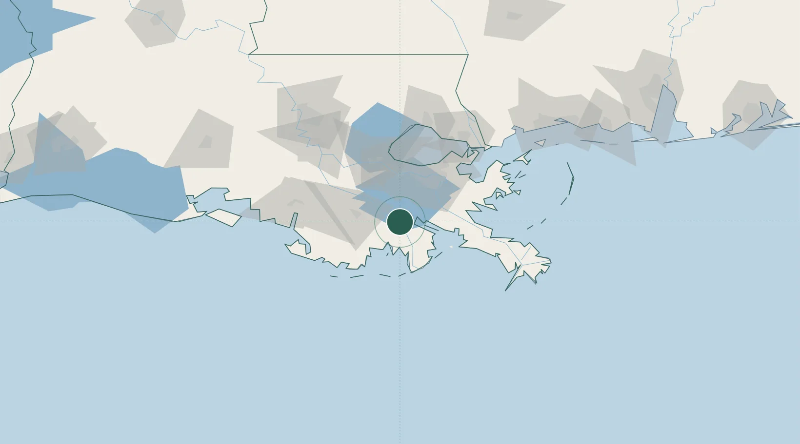
Louisiana
Population
5,976
Time zone
America/Chicago
Elevation
2 m
Location
Nearby Logistics Neighbours
Cities
- 1Bourg26 km
- 2Raceland33 km
- 3Wills Point40 km
- 4Boutte41 km
- 5Waggaman45 km
Ports
- 1St Rose46 km
- 2Grand Isle46 km
- 3Destrehan46 km
- 4Gretna50 km
- 5New Orleans54 km
Airports
Trade Zones
DatabookThe Record of Consolidated Knowledge
United States beyond logistics?