UN/LOCODE hub · United States
USRCB
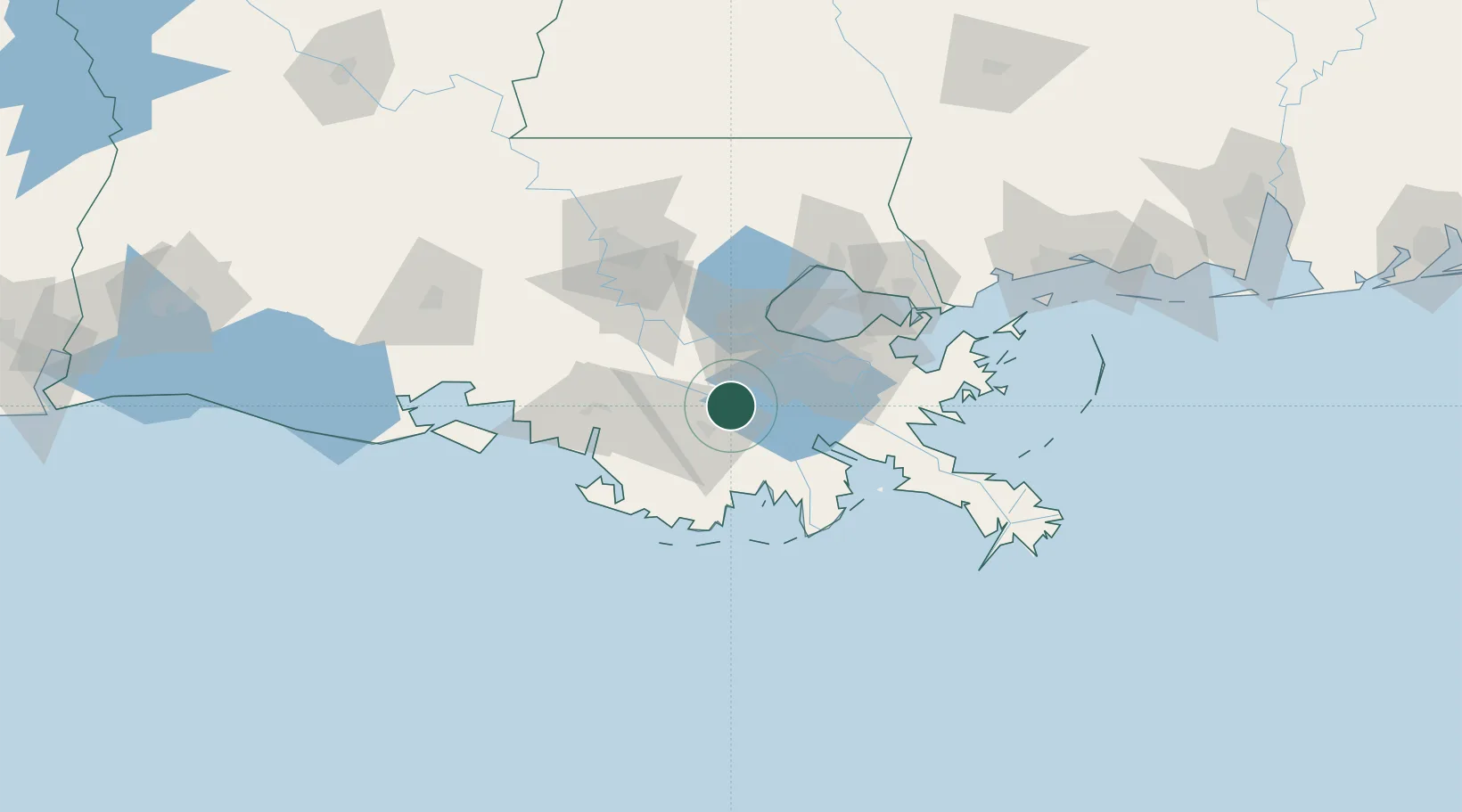
Raceland
29.7167°, -90.6000°
10,193
Population
2
Transport functions
Transport Functions
Rail
Road
Hub Profile
Place type
Populated place
Region
Louisiana
Population
10,193
Time zone
America/Chicago
Elevation
4 m
Location
Nearby Logistics Neighbours
Airports
Trade Zones
DatabookThe Record of Consolidated Knowledge
United States beyond logistics?