Transport Functions
Port
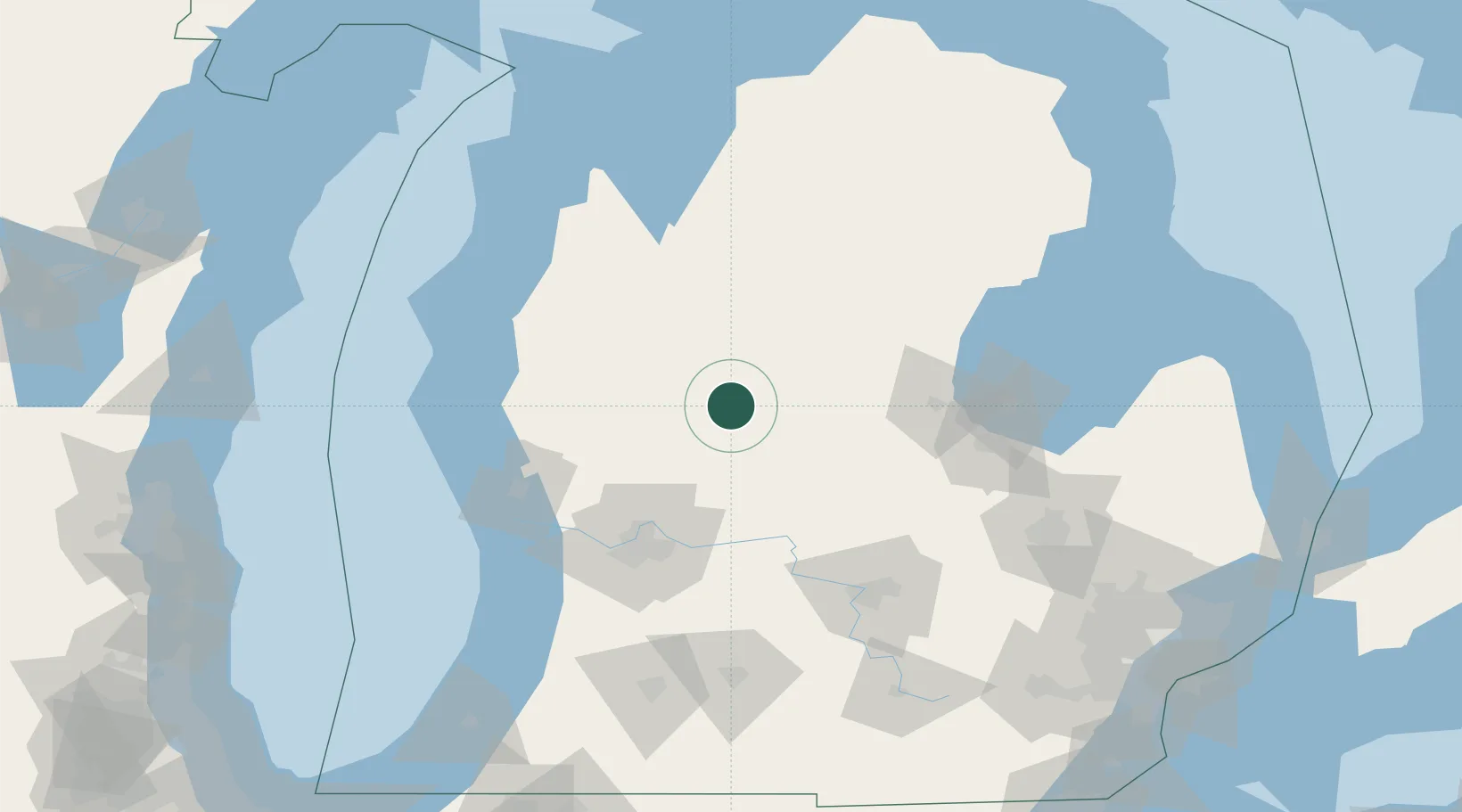
Hub Profile
Place type
Populated place
Region
Michigan
Population
453
Time zone
America/Detroit
Elevation
299 m
Location
Nearby Logistics Neighbours
Cities
- 1Edmore28 km
- 2Cedar Lake31 km
- 3Evart32 km
- 4Howard City33 km
- 5Shepherd44 km
Ports
- 1Muskegon95 km
- 2White Lake95 km
- 3Grand Haven103 km
- 4Saginaw106 km
- 5Ludington106 km
Airports
Trade Zones
- 1FTZ No. 101 Clinton County84 km
- 2FTZ No. 189 Kent Ottawa/Muskegon Counties97 km
- 3FTZ No. 284 Genesee County122 km
- 4FTZ No. 019 Omaha129 km
- 5FTZ No. 140 Flint135 km
DatabookThe Record of Consolidated Knowledge
United States beyond logistics?