Transport Functions
Port
Road
Hub Profile
Place type
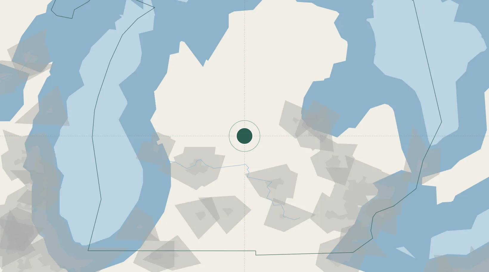
Populated place
Region
Michigan
Time zone
America/Detroit
Elevation
269 m
Location
Nearby Logistics Neighbours
Ports
- 1Saginaw84 km
- 2Bay City92 km
- 3Muskegon107 km
- 4Grand Haven109 km
- 5White Lake112 km
Airports
Trade Zones
DatabookThe Record of Consolidated Knowledge
United States beyond logistics?