UN/LOCODE hub · United States
USZSE
Summerville
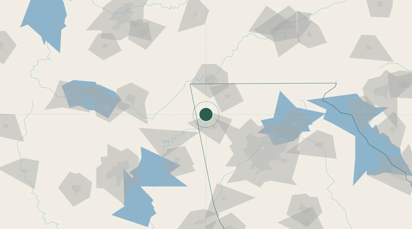
34.4667°, -85.3333°
4,452
Population
3
Transport functions
Transport Functions
Rail
Road
Multimodal
Hub Profile
Place type
Provincial seat
Region
Georgia
Population
4,452
Time zone
America/New_York
Elevation
198 m
Location
Nearby Logistics Neighbours
Cities
- 1Lyerly10 km
- 2Mentone26 km
- 3Sugar Valley32 km
- 4Cedar Bluff39 km
- 5Glenwood40 km
Ports
- 1Savannah476 km
- 2Panama City483 km
- 3Pensacola486 km
- 4Beaufort488 km
- 5Port Royal491 km
Airports
Trade Zones
- 1FTZ No. 134 Chattanooga70 km
- 2FTZ No. 026 Atlanta117 km
- 3FTZ No. 083 Huntsville133 km
- 4FTZ No. 270 Lawrence County146 km
- 5FTZ No. 265 Conroe (Montgomery County)150 km
DatabookThe Record of Consolidated Knowledge
United States beyond logistics?