Transport Functions
Port
Rail
Road
Multimodal
Hub Profile
Place type
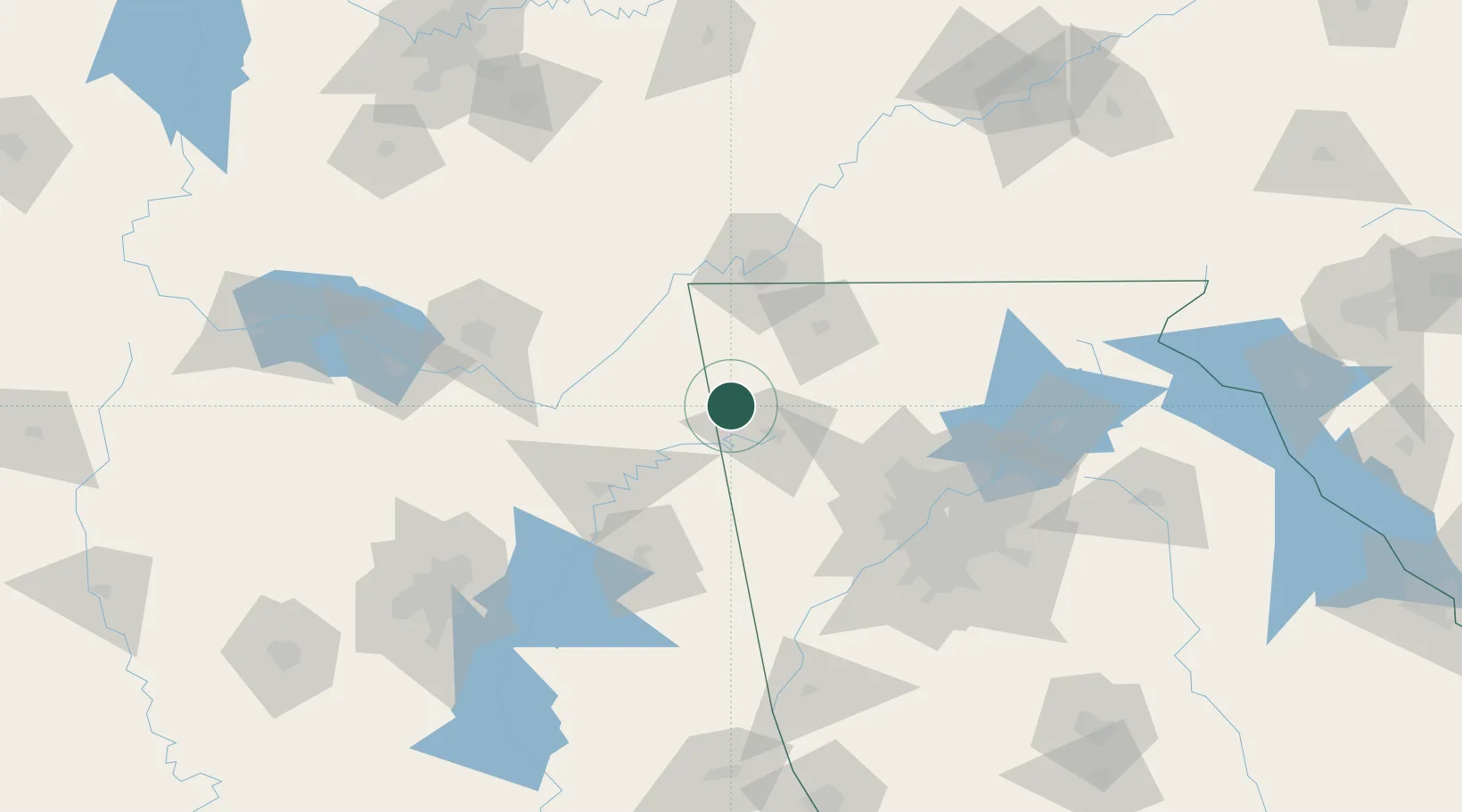
Populated place
Region
Georgia
Population
529
Time zone
America/New_York
Elevation
190 m
Location
Nearby Logistics Neighbours
Cities
- 1Summerville10 km
- 2Mentone25 km
- 3Cedar Bluff29 km
- 4Cave Spring34 km
- 5Glenwood37 km
Ports
- 1Panama City475 km
- 2Pensacola476 km
- 3Savannah477 km
- 4Mobile485 km
- 5Beaufort491 km
Airports
Trade Zones
- 1FTZ No. 134 Chattanooga78 km
- 2FTZ No. 026 Atlanta117 km
- 3FTZ No. 083 Huntsville128 km
- 4FTZ No. 270 Lawrence County141 km
- 5FTZ No. 265 Conroe (Montgomery County)146 km
DatabookThe Record of Consolidated Knowledge
United States beyond logistics?