Transport Functions
Rail
Road
Hub Profile
Place type
Populated place
Region
Oklahoma
Population
906
Time zone
America/Chicago
Elevation
258 m
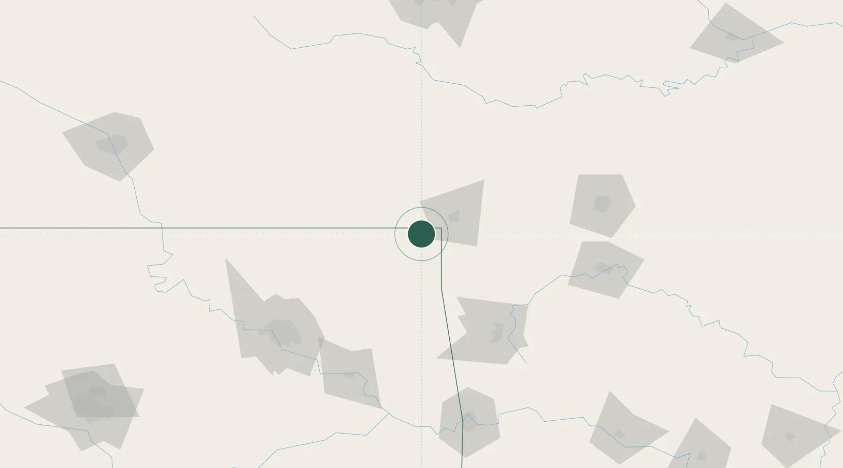
Location
Nearby Logistics Neighbours
Cities
- 1Baxter Springs9 km
- 2Galena20 km
- 3Fairland23 km
- 4Columbus25 km
- 5Welch28 km
Ports
- 1Port Of Memphis465 km
- 2Lake Charles762 km
- 3Beaumont766 km
- 4Orange770 km
- 5Port Neches777 km
Airports
Trade Zones
- 1FTZ No. 053 Rogers County117 km
- 2FTZ No. 225 Springfield147 km
- 3FTZ No. 164 Muskogee148 km
- 4FTZ No. 015 Kansas City210 km
- 5FTZ No. 017 Kansas City238 km
DatabookThe Record of Consolidated Knowledge
United States beyond logistics?