UN/LOCODE hub · United States
USWOU
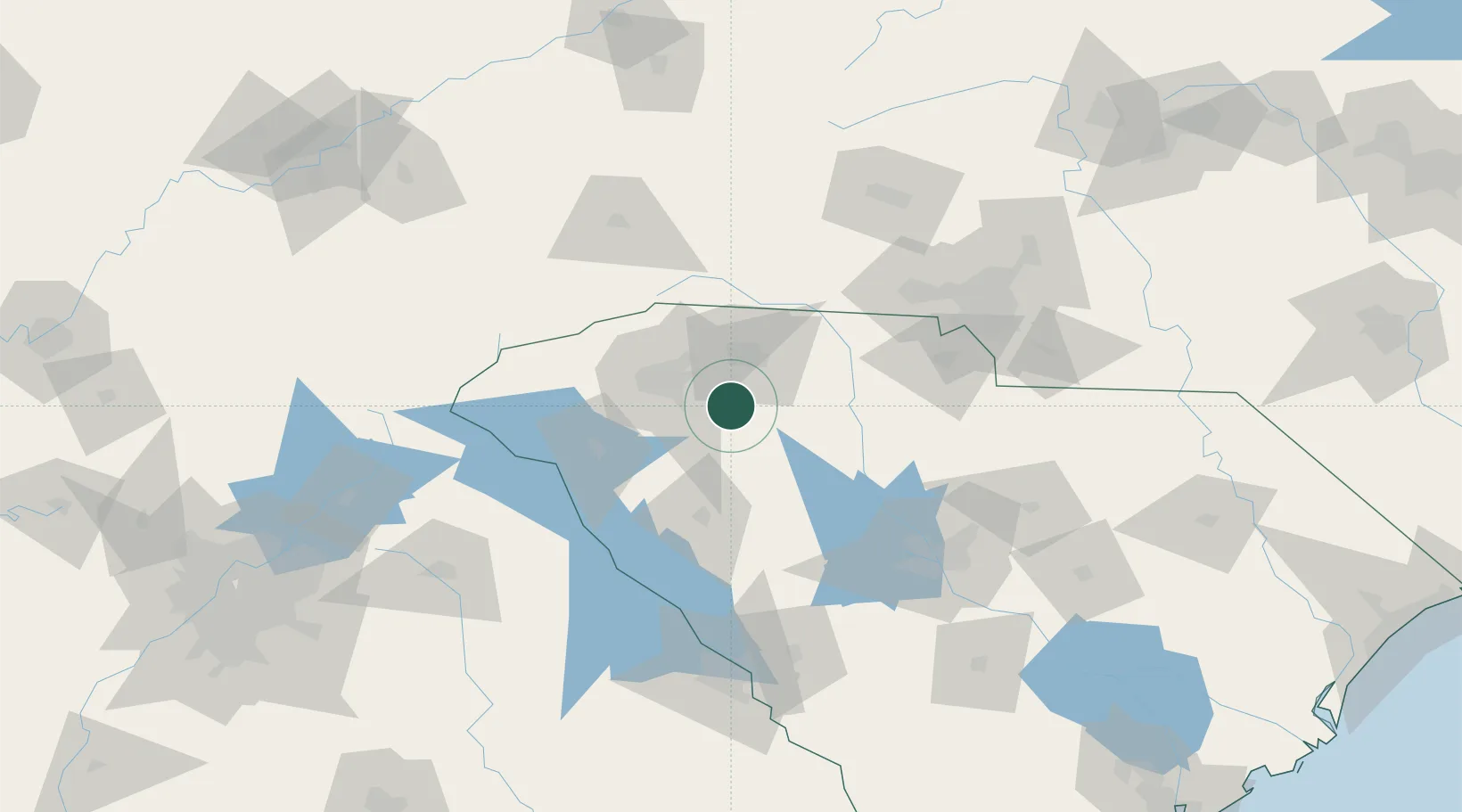
Woodruff
34.7333°, -82.0333°
4,129
Population
3
Transport functions
Transport Functions
Rail
Road
Multimodal
Hub Profile
Place type
Populated place
Region
South Carolina
Population
4,129
Time zone
America/New_York
Elevation
240 m
Location
Nearby Logistics Neighbours
Cities
- 1Gray Court16 km
- 2Greenville-Greer Apt17 km
- 3Greenville22 km
- 4White Stone27 km
- 5Conestee31 km
Ports
- 1Beaufort285 km
- 2Port Royal291 km
- 3Charleston292 km
- 4Georgetown295 km
- 5Savannah308 km
Airports
Trade Zones
- 1FTZ No. 038 Spartanburg County26 km
- 2FTZ No. 057 Mecklenburg County104 km
- 3FTZ No. 127 West Columbia117 km
- 4FTZ No. 204 Tri-Cities197 km
- 5FTZ No. 021 Dorchester County221 km
DatabookThe Record of Consolidated Knowledge
United States beyond logistics?