UN/LOCODE hub · United States
USHKG

Hickory Grove, York

34.9833°, -81.4167°
2
Transport functions

Transport Functions

Port
Multimodal
UN/LOCODE

Hub Profile

Region
SC
GeoNames

Location

Location of USHKG
Natural Earth 10m (public domain) · SC · USHKG · 34.98, -81.42GoogleOSMYandex

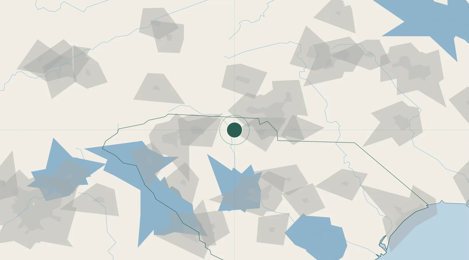
Nearby Logistics Neighbours

Cities
  1. 1Grover21 km
  2. 2Clover22 km
  3. 3Earl25 km
  4. 4Pacolet32 km
  5. 5Union35 km
Nearest neighbours — logibook spatial index (haversine) over the source coordinates
Ports
  1. 1Georgetown266 km
  2. 2Charleston281 km
  3. 3Beaufort292 km
  4. 4Port Royal299 km
  5. 5Savannah324 km
Nearest neighbours — logibook spatial index (haversine) over the source coordinates
Airports
  1. 1Charlotte Douglas International Airport50 km
  2. 2Greenville-Spartanburg International Airport74 km
  3. 3Concord-Padgett Regional Airport79 km
  4. 4Hickory Regional Airport84 km
  5. 5Greenville Downtown Airport86 km
Nearest neighbours — logibook spatial index (haversine) over the source coordinates
Trade Zones
  1. 1FTZ No. 057 Mecklenburg County43 km
  2. 2FTZ No. 038 Spartanburg County77 km
  3. 3FTZ No. 127 West Columbia113 km
  4. 4FTZ No. 230 Piedmont Triad Area176 km
  5. 5FTZ No. 204 Tri-Cities189 km
Nearest neighbours — logibook spatial index (haversine) over the source coordinates
DatabookThe Record of Consolidated Knowledge
United States beyond logistics?
Browse databook

All Sources

LocationsUN/LOCODE
UN/LOCODE — free
Portsthe NGA World Port Index
Public domain (US gov)
AirportsOurAirports
Public domain
Trade Zonesthe World Bank SEZ database
CC BY 4.0
Trade ZonesOpen Zone Map
CC BY
← United States locations