Transport Functions
Rail
Road
Hub Profile
Place type
Populated place
Region
South Carolina
Time zone
America/New_York
Elevation
237 m
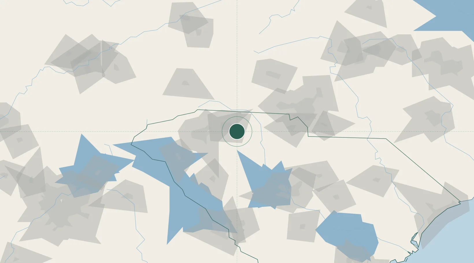
Location
Nearby Logistics Neighbours
Cities
- 1Pacolet6 km
- 2Mayo21 km
- 3Carlisle, Spartanburg21 km
- 4Woodruff27 km
- 5Union27 km
Ports
- 1Georgetown289 km
- 2Charleston294 km
- 3Beaufort294 km
- 4Port Royal301 km
- 5Savannah321 km
Airports
Trade Zones
DatabookThe Record of Consolidated Knowledge
United States beyond logistics?