Transport Functions
Road
Multimodal
Hub Profile
Place type
Populated place
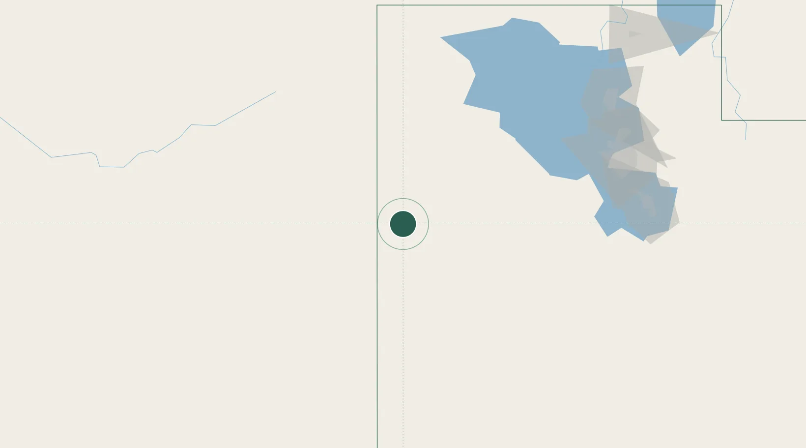
Region
Utah
Time zone
America/Denver
Elevation
1,897 m
Location
Nearby Logistics Neighbours
Cities
- 1Wendover73 km
- 2Grantsville128 km
- 3Stansbury park143 km
- 4Elberta160 km
- 5Bluffdale165 km
Ports
- 1Sacramento682 km
- 2Stockton689 km
- 3Walnut Grove695 km
- 4Courtland696 km
- 5Isleton705 km
Airports
- 1Wendover Airport71 km
- 2Ely Airport Yelland Field125 km
- 3South Valley Regional Airport165 km
- 4Salt Lake City International Airport173 km
- 5Provo Municipal Airport179 km
Trade Zones
- 1FTZ No. 030 Salt Lake City172 km
- 2FTZ No. 280 Ada and Canyon Counties464 km
- 3FTZ No. 170 Clark County505 km
- 4FTZ No. 089 Clark County505 km
- 5FTZ No. 126 Sparks513 km
DatabookThe Record of Consolidated Knowledge
United States beyond logistics?