UN/LOCODE hub · United States
USGTE
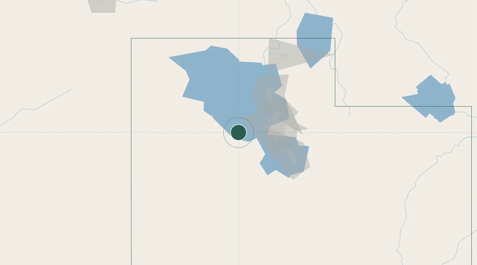
Grantsville
40.6167°, -112.4667°
10,027
Population
2
Transport functions
Transport Functions
Road
Multimodal
Hub Profile
Place type
Populated place
Region
Utah
Population
10,027
Time zone
America/Denver
Elevation
1,312 m
Location
Nearby Logistics Neighbours
Cities
- 1Stansbury park16 km
- 2West Jordan44 km
- 3West Valley City45 km
- 4Riverton46 km
- 5South Jordan47 km
Ports
- 1Sacramento806 km
- 2Stockton816 km
- 3Walnut Grove821 km
- 4Courtland821 km
- 5Isleton830 km
Airports
Trade Zones
- 1FTZ No. 030 Salt Lake City44 km
- 2FTZ No. 280 Ada and Canyon Counties496 km
- 3FTZ No. 274 Butte-Silver Bow589 km
- 4FTZ No. 275 Lansing600 km
- 5FTZ No. 170 Clark County610 km
DatabookThe Record of Consolidated Knowledge
United States beyond logistics?