UN/LOCODE hub · United States
USSR9
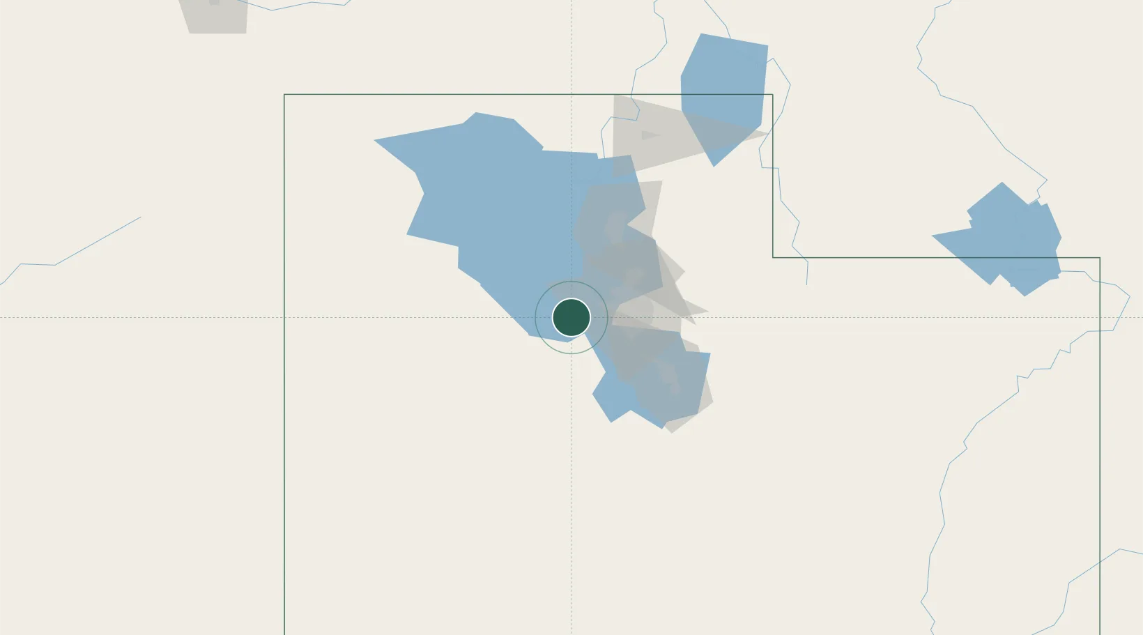
Stansbury park
40.6333°, -112.2833°
5,145
Population
2
Transport functions
Transport Functions
Port
Multimodal
Hub Profile
Place type
Populated place
Region
Utah
Population
5,145
Time zone
America/Denver
Elevation
1,309 m
Location
Nearby Logistics Neighbours
Cities
- 1Grantsville16 km
- 2West Jordan28 km
- 3West Valley City29 km
- 4Riverton32 km
- 5South Jordan32 km
Ports
- 1Sacramento821 km
- 2Stockton831 km
- 3Walnut Grove836 km
- 4Courtland836 km
- 5Isleton846 km
Airports
Trade Zones
- 1FTZ No. 030 Salt Lake City29 km
- 2FTZ No. 280 Ada and Canyon Counties507 km
- 3FTZ No. 274 Butte-Silver Bow588 km
- 4FTZ No. 275 Lansing598 km
- 5FTZ No. 170 Clark County620 km
DatabookThe Record of Consolidated Knowledge
United States beyond logistics?