Transport Functions
Road
Multimodal
Hub Profile
Place type
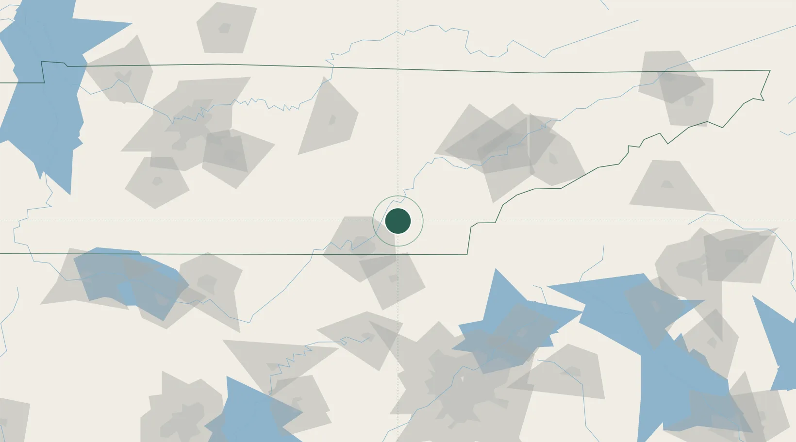
Populated place
Region
Tennessee
Time zone
America/New_York
Elevation
252 m
Location
Nearby Logistics Neighbours
Cities
- 1Calhoun17 km
- 2Cleveland17 km
- 3Sale Creek19 km
- 4McDonald19 km
- 5Soddy-Daisy21 km
Ports
- 1Savannah503 km
- 2Beaufort506 km
- 3Port Royal509 km
- 4Darien543 km
- 5Brunswick560 km
Airports
Trade Zones
- 1FTZ No. 134 Chattanooga45 km
- 2FTZ No. 148 Knoxville101 km
- 3FTZ No. 026 Atlanta176 km
- 4FTZ No. 083 Huntsville182 km
- 5FTZ No. 270 Lawrence County194 km
DatabookThe Record of Consolidated Knowledge
United States beyond logistics?