Transport Functions
Port
Hub Profile
Place type
Populated place
Region
Tennessee
Time zone
America/New_York
Elevation
243 m
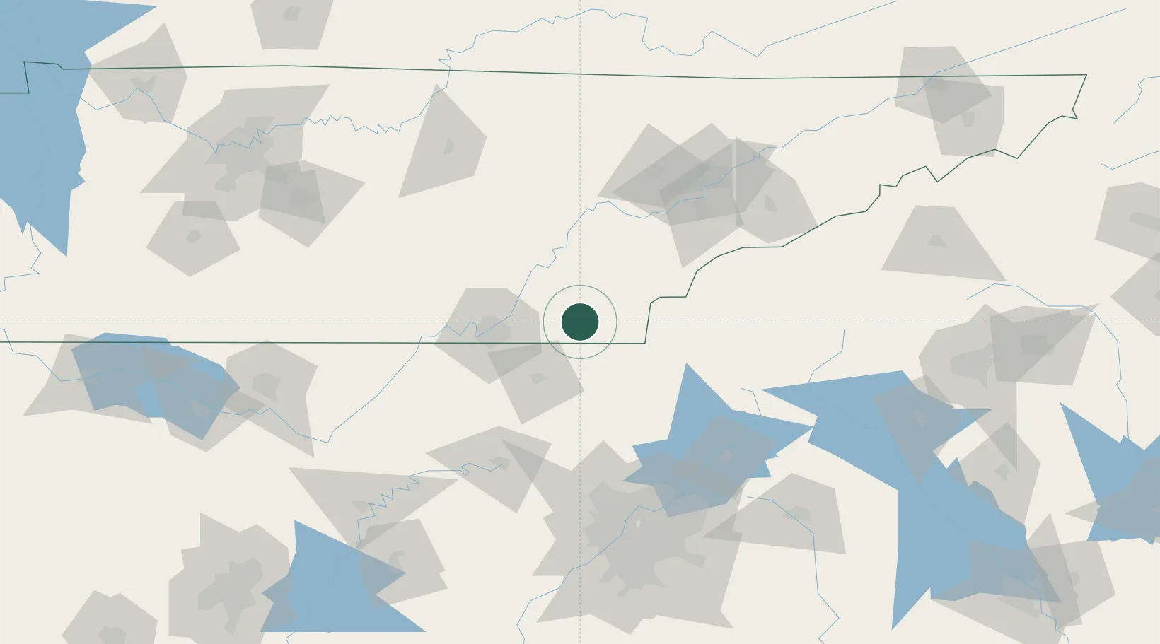
Location
Nearby Logistics Neighbours
Cities
- 1Ocoee, Polk2 km
- 2Cleveland12 km
- 3Calhoun21 km
- 4Eton22 km
- 5Delano23 km
Ports
- 1Savannah476 km
- 2Beaufort479 km
- 3Port Royal482 km
- 4Darien517 km
- 5Brunswick533 km
Airports
Trade Zones
- 1FTZ No. 134 Chattanooga60 km
- 2FTZ No. 148 Knoxville107 km
- 3FTZ No. 026 Atlanta154 km
- 4FTZ No. 083 Huntsville194 km
- 5FTZ No. 270 Lawrence County208 km
DatabookThe Record of Consolidated Knowledge
United States beyond logistics?