Transport Functions
Road
Multimodal
Hub Profile
Place type
Populated place
Region
Tennessee
Population
495
Time zone
America/New_York
Elevation
217 m
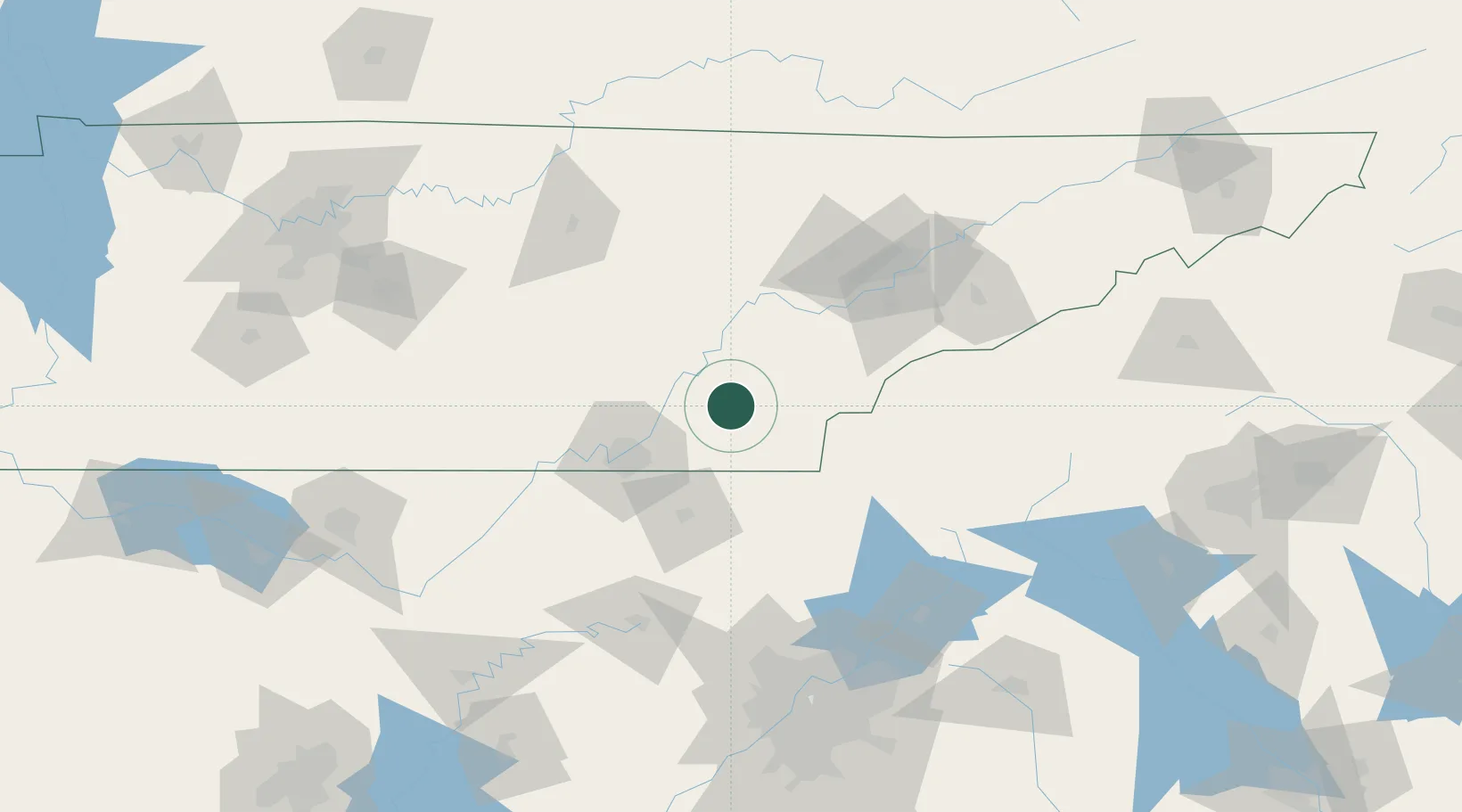
Location
Nearby Logistics Neighbours
Cities
- 1Riceville11 km
- 2Georgetown17 km
- 3Delano19 km
- 4Cleveland19 km
- 5Ocoee, Polk19 km
Ports
- 1Savannah493 km
- 2Beaufort494 km
- 3Port Royal497 km
- 4Darien535 km
- 5Brunswick552 km
Airports
Trade Zones
- 1FTZ No. 134 Chattanooga61 km
- 2FTZ No. 148 Knoxville90 km
- 3FTZ No. 026 Atlanta174 km
- 4FTZ No. 083 Huntsville198 km
- 5FTZ No. 270 Lawrence County211 km
DatabookThe Record of Consolidated Knowledge
United States beyond logistics?