Transport Functions
Road
Multimodal
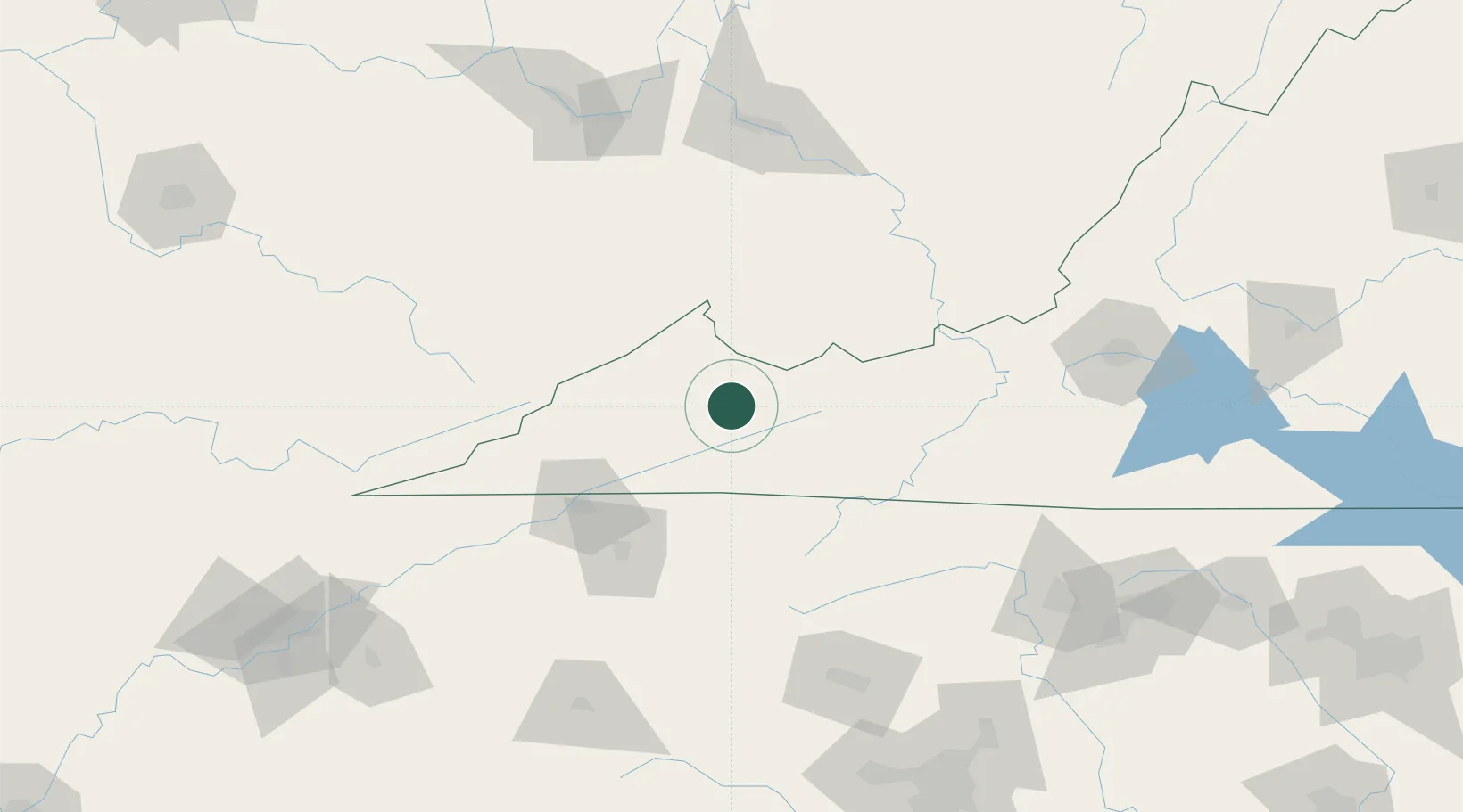
Hub Profile
Place type
Populated place
Region
Virginia
Time zone
America/New_York
Elevation
628 m
Location
Nearby Logistics Neighbours
Cities
- 1Swords Creek6 km
- 2Ennice29 km
- 3Tazewell31 km
- 4Abingdon39 km
- 5Cedar Bluff45 km
Ports
- 1Richmond396 km
- 2Fredericksburg412 km
- 3West Point450 km
- 4Washington461 km
- 5Alexandria466 km
Airports
- 1Mercer County Airport64 km
- 2Tri-Cities Regional TN/VA Airport80 km
- 3Raleigh County Memorial Airport106 km
- 4Julian Carroll Airport144 km
- 5Hickory Regional Airport150 km
Trade Zones
- 1FTZ No. 204 Tri-Cities79 km
- 2FTZ No. 238 Dublin102 km
- 3FTZ No. 229 Charleston146 km
- 4FTZ No. 230 Piedmont Triad Area178 km
- 5FTZ No. 057 Mecklenburg County209 km
DatabookThe Record of Consolidated Knowledge
United States beyond logistics?