Transport Functions
Rail
Road
Multimodal
Hub Profile
Place type
Populated place
Region
Virginia
Time zone
America/New_York
Elevation
570 m
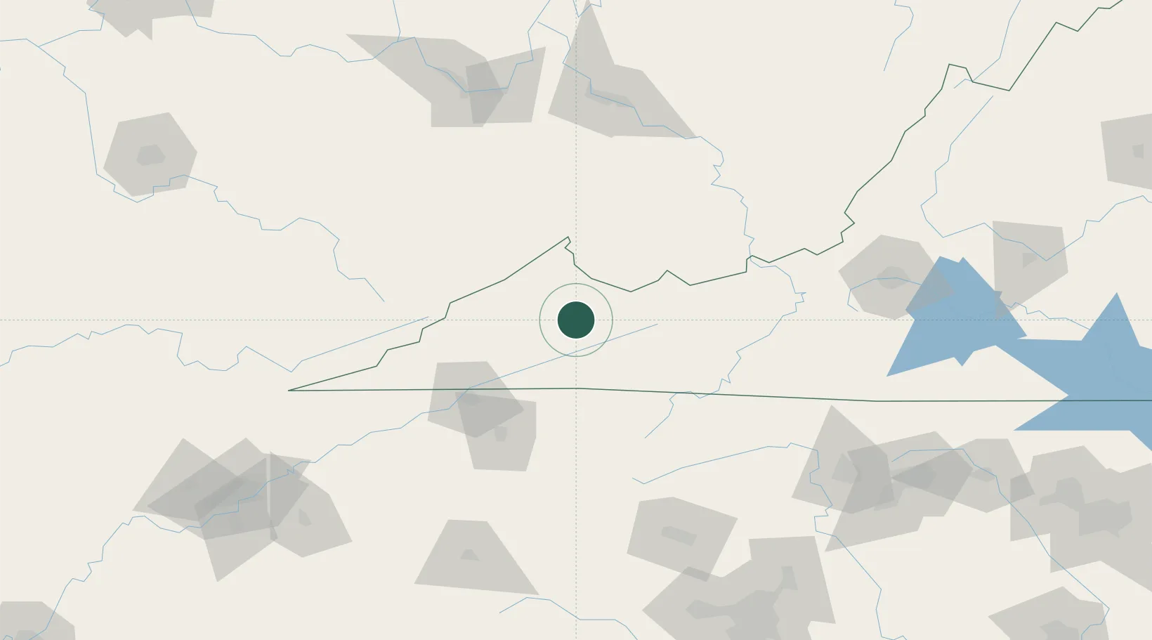
Location
Nearby Logistics Neighbours
Ports
- 1Richmond402 km
- 2Fredericksburg418 km
- 3West Point456 km
- 4Washington466 km
- 5Alexandria471 km
Airports
- 1Mercer County Airport69 km
- 2Tri-Cities Regional TN/VA Airport76 km
- 3Raleigh County Memorial Airport109 km
- 4Julian Carroll Airport139 km
- 5Hickory Regional Airport151 km
Trade Zones
- 1FTZ No. 204 Tri-Cities76 km
- 2FTZ No. 238 Dublin108 km
- 3FTZ No. 229 Charleston147 km
- 4FTZ No. 230 Piedmont Triad Area184 km
- 5FTZ No. 057 Mecklenburg County211 km
DatabookThe Record of Consolidated Knowledge
United States beyond logistics?