Transport Functions
Rail
Road
Multimodal
Hub Profile
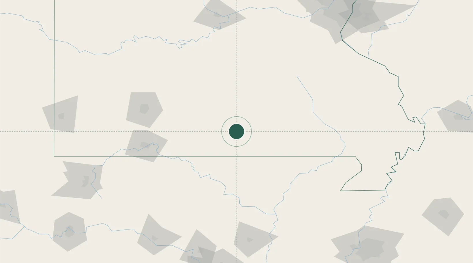
Place type
Populated place
Region
Missouri
Population
511
Time zone
America/Chicago
Elevation
380 m
Location
Nearby Logistics Neighbours
Cities
- 1Willow Springs14 km
- 2Cabool34 km
- 3Tecumseh47 km
- 4Thayer52 km
- 5Mansfield65 km
Ports
- 1Port Of Memphis255 km
- 2Indiana Harbor658 km
- 3Gary659 km
- 4Calumet Harbor660 km
- 5Chicago670 km
Airports
Trade Zones
- 1FTZ No. 225 Springfield116 km
- 2FTZ No. 102 St. Louis County224 km
- 3FTZ No. 283 West Tennessee236 km
- 4FTZ No. 014 Little Rock241 km
- 5FTZ No. 077 Memphis245 km
DatabookThe Record of Consolidated Knowledge
United States beyond logistics?