UN/LOCODE hub · United States
USZWO
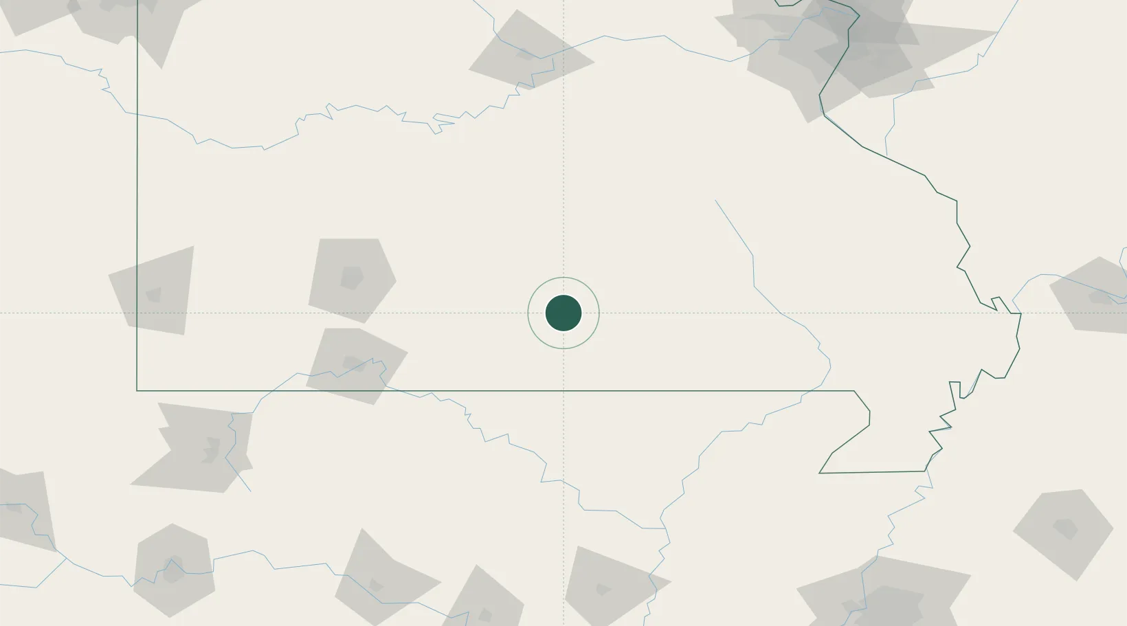
Willow Springs
36.9833°, -91.9667°
2,150
Population
3
Transport functions
Transport Functions
Rail
Road
Multimodal
Hub Profile
Place type
Populated place
Region
Missouri
Population
2,150
Time zone
America/Chicago
Elevation
387 m
Location
Nearby Logistics Neighbours
Ports
- 1Port Of Memphis268 km
- 2Indiana Harbor650 km
- 3Gary651 km
- 4Calumet Harbor652 km
- 5Chicago661 km
Airports
Trade Zones
- 1FTZ No. 225 Springfield108 km
- 2FTZ No. 102 St. Louis County215 km
- 3FTZ No. 283 West Tennessee247 km
- 4FTZ No. 031 Granite City249 km
- 5FTZ No. 014 Little Rock253 km
DatabookThe Record of Consolidated Knowledge
United States beyond logistics?