UN/LOCODE hub · United States
USJUN
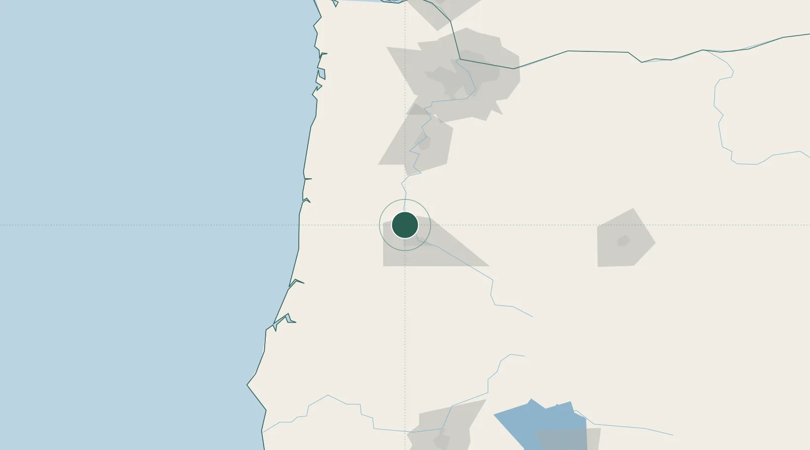
Junction City
44.2167°, -123.2000°
5,842
Population
3
Transport functions
Transport Functions
Rail
Road
Multimodal
Hub Profile
Place type
Populated place
Region
Oregon
Population
5,842
Time zone
America/Los_Angeles
Elevation
100 m
Location
Nearby Logistics Neighbours
Cities
- 1Harrisburg6 km
- 2Monroe14 km
- 3Tulsa19 km
- 4Noti26 km
- 5Shedd27 km
Ports
- 1Toledo73 km
- 2Florence78 km
- 3Newport82 km
- 4Gardiner91 km
- 5North Bend122 km
Airports
Trade Zones
- 1FTZ No. 132 Coos County125 km
- 2FTZ No. 255 Washington County149 km
- 3FTZ No. 045 Portland151 km
- 4FTZ No. 296 Vancouver163 km
- 5FTZ No. 120 Cowlitz County212 km
DatabookThe Record of Consolidated Knowledge
United States beyond logistics?