UN/LOCODE hub · United States
USHB3
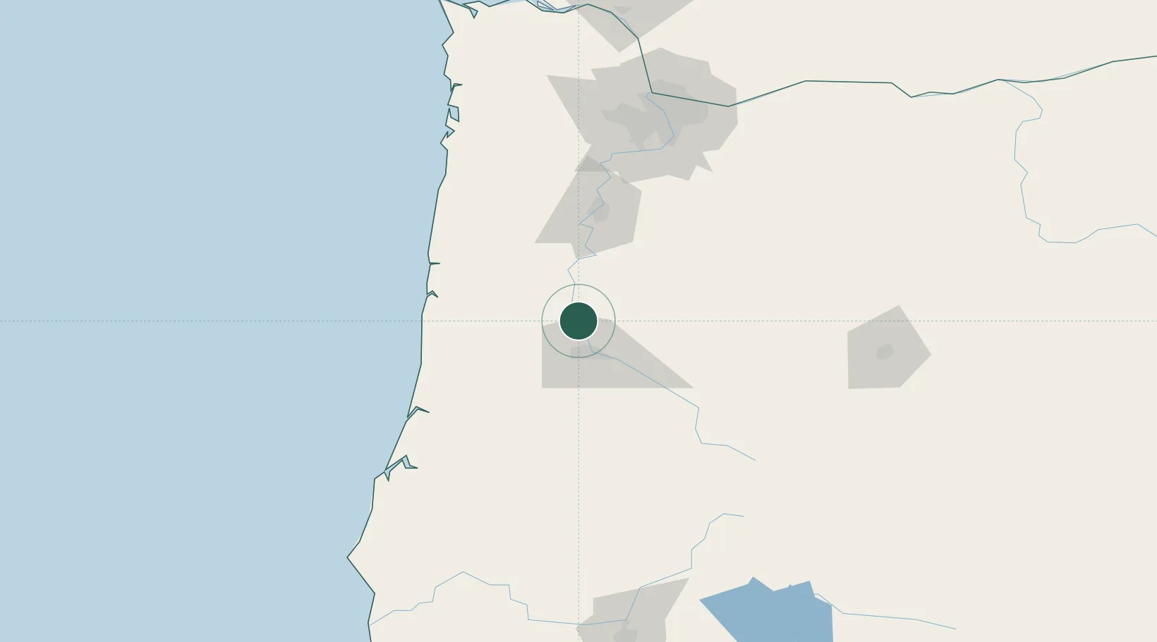
Harrisburg
44.2667°, -123.1667°
3,704
Population
4
Transport functions
Transport Functions
Port
Rail
Road
Multimodal
Hub Profile
Place type
Populated place
Region
Oregon
Population
3,704
Time zone
America/Los_Angeles
Elevation
95 m
Location
Nearby Logistics Neighbours
Cities
- 1Junction City6 km
- 2Monroe12 km
- 3Tulsa13 km
- 4Shedd21 km
- 5Tangent30 km
Ports
- 1Toledo72 km
- 2Newport81 km
- 3Florence83 km
- 4Gardiner97 km
- 5North Bend128 km
Airports
Trade Zones
- 1FTZ No. 132 Coos County131 km
- 2FTZ No. 255 Washington County144 km
- 3FTZ No. 045 Portland145 km
- 4FTZ No. 296 Vancouver157 km
- 5FTZ No. 120 Cowlitz County206 km
DatabookThe Record of Consolidated Knowledge
United States beyond logistics?