Transport Functions
Port
Rail
Road
Multimodal
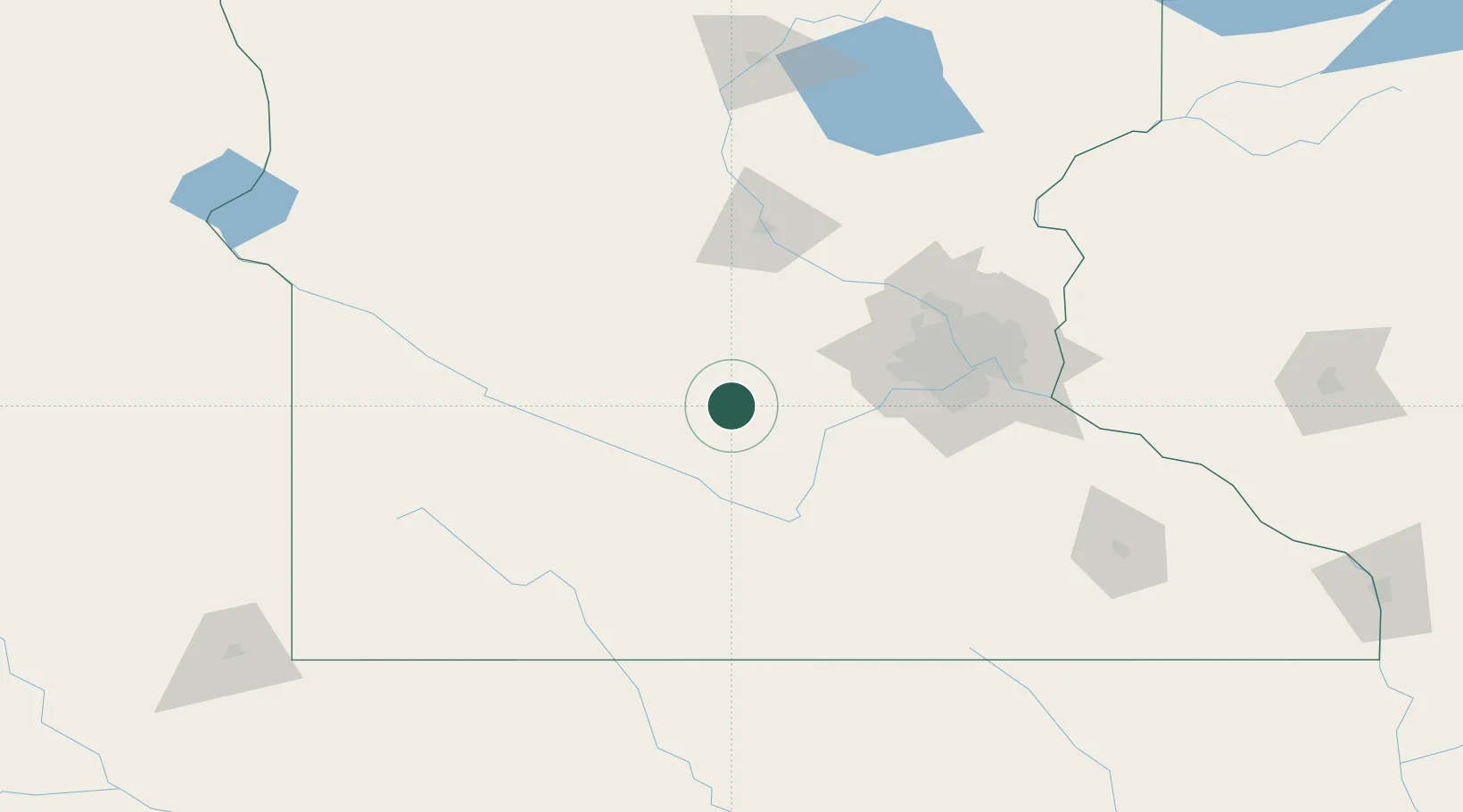
Hub Profile
Region
MN
Location
Nearby Logistics Neighbours
Ports
- 1Superior286 km
- 2Duluth287 km
- 3Two Harbors330 km
- 4Ashland342 km
- 5Washburn346 km
Airports
Trade Zones
- 1FTZ No. 119 Minneapolis-St. Paul92 km
- 2FTZ No. 288 Northwest Iowa221 km
- 3FTZ No. 220 Sioux Falls234 km
- 4FTZ No. 051 Duluth280 km
- 5FTZ No. 267 Fargo313 km
DatabookThe Record of Consolidated Knowledge
United States beyond logistics?