Transport Functions
Rail
Road
Hub Profile
Place type
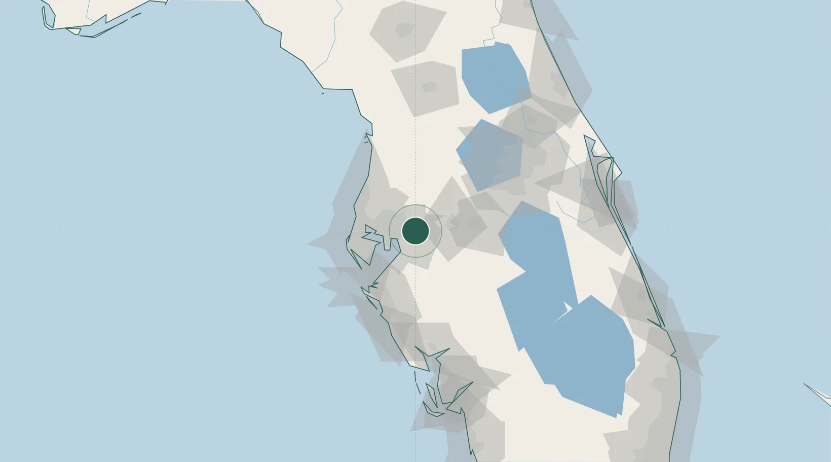
Populated place
Region
Florida
Population
7,579
Time zone
America/New_York
Elevation
21 m
Location
Nearby Logistics Neighbours
Cities
- 1Valrico4 km
- 2Tampa15 km
- 3Riverview16 km
- 4Lutz26 km
- 5Land O'Lakes32 km
Ports
- 1Tampa20 km
- 2Sankt-Peterburg42 km
- 3Port Manatee49 km
- 4Tarpon Springs52 km
- 5Boca Grande143 km
Airports
Trade Zones
- 1FTZ No. 079 Tampa18 km
- 2FTZ No. 193 Pinellas County55 km
- 3FTZ No. 169 Manatee County76 km
- 4FTZ No. 215 Sebring93 km
- 5FTZ No. 042 Orlando93 km
DatabookThe Record of Consolidated Knowledge
United States beyond logistics?