UN/LOCODE hub · United States
USVLQ
Valrico
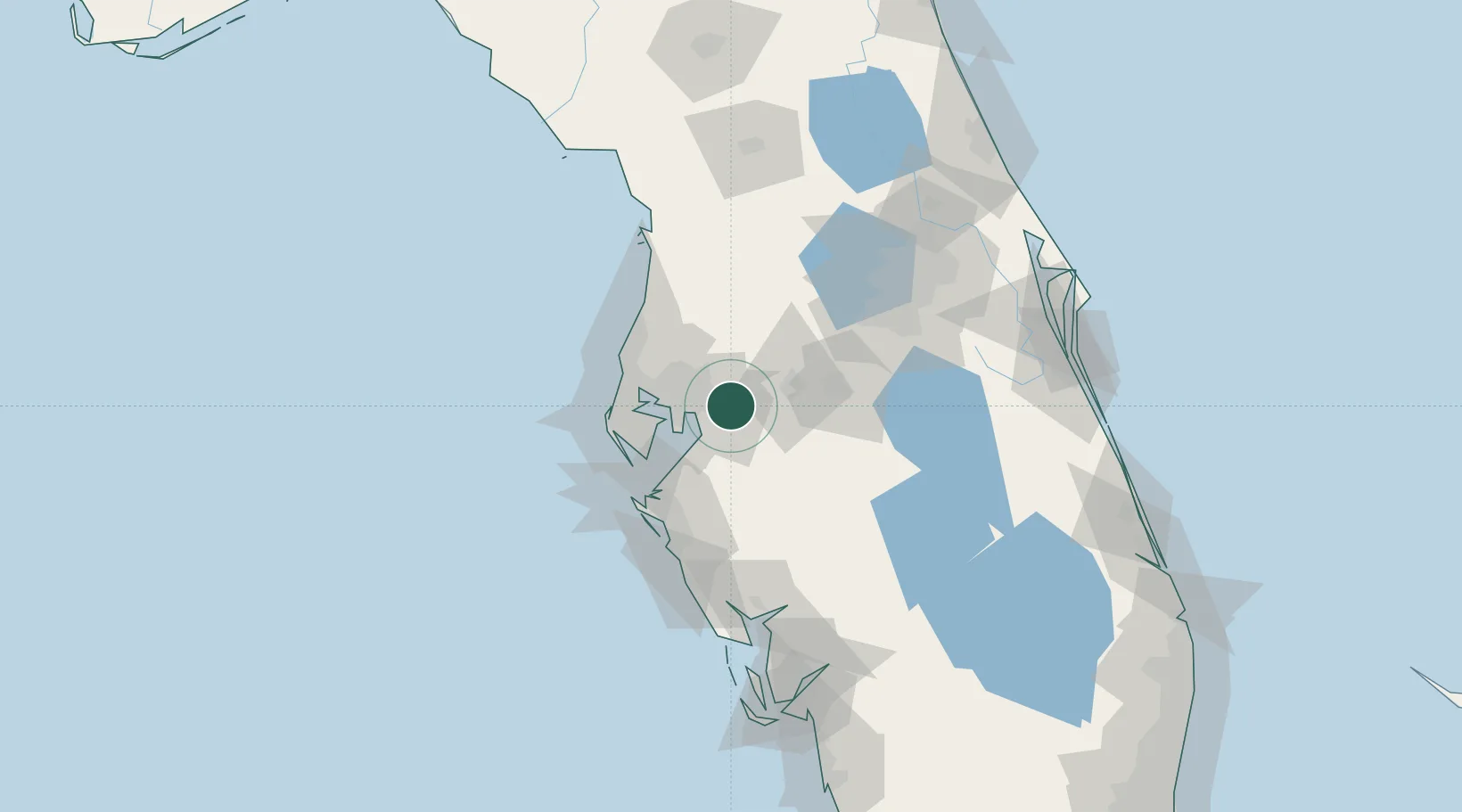
27.9500°, -82.2500°
35,545
Population
2
Transport functions
Transport Functions
Rail
Road
Hub Profile
Place type
Populated place
Region
Florida
Population
35,545
Time zone
America/New_York
Elevation
15 m
Location
Nearby Logistics Neighbours
Cities
- 1Seffner4 km
- 2Riverview13 km
- 3Tampa16 km
- 4Lutz30 km
- 5Land O'Lakes36 km
Ports
- 1Tampa20 km
- 2Sankt-Peterburg41 km
- 3Port Manatee47 km
- 4Tarpon Springs55 km
- 5Boca Grande139 km
Airports
Trade Zones
- 1FTZ No. 079 Tampa19 km
- 2FTZ No. 193 Pinellas County57 km
- 3FTZ No. 169 Manatee County74 km
- 4FTZ No. 215 Sebring89 km
- 5FTZ No. 042 Orlando94 km
DatabookThe Record of Consolidated Knowledge
United States beyond logistics?