UN/LOCODE hub · United States
USTP2
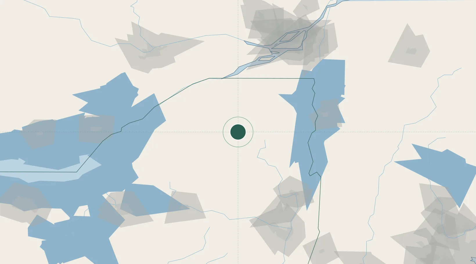
Tupper Lake
44.2167°, -74.4667°
3,577
Population
1
Transport functions
Transport Functions
Port
Hub Profile
Place type
Populated place
Region
New York
Population
3,577
Time zone
America/New_York
Elevation
487 m
Location
Nearby Logistics Neighbours
Cities
- 1Upper Saint Regis26 km
- 2Wilmington55 km
- 3Canton69 km
- 4Malone70 km
- 5Norwood72 km
Ports
- 1Cornwall91 km
- 2Cardinal96 km
- 3Lower Lakes Terminal98 km
- 4Ogdensburg98 km
- 5South Lancaster102 km
Airports
Trade Zones
- 1FTZ No. 118 Ogdensburg99 km
- 2FTZ No. 109 Watertown117 km
- 3Greater Montreal Free Zone Center160 km
- 4FTZ No. 172 Oneida County167 km
- 5FTZ No. 121 Albany175 km
DatabookThe Record of Consolidated Knowledge
United States beyond logistics?