Medium airport · United States

Plattsburgh International AirportKPBG
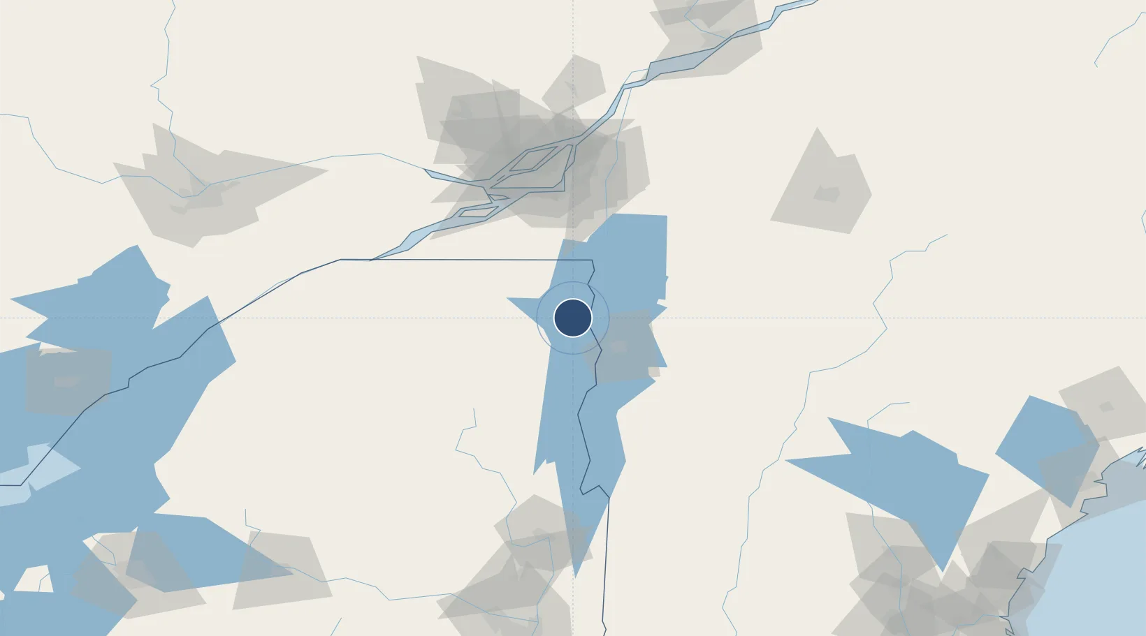
44.6509°, -73.4681°
11,759 ft
Longest runway
1
Runways
234 ft
Elevation

Runway & Layout

Plattsburgh International Airport runway & taxiway layout
Runway & taxiway layout — OpenStreetMap (ODbL) / OurAirports

Radio Frequencies

A/D
121.1 MHz
BURLINGTON APP/DEP
UNIC
122.7 MHz
CTAF/UNICOM
OurAirports

Runways · 1

RunwayDimensions SurfaceTrue headingLit
17/35 11,759 × 200ft Concrete 158°
OurAirports

Airport Specifications

IATA code
PBG
OurAirports
ICAO code
KPBG
OurAirports
Airport class
Medium airport
OurAirports
Scheduled service
Yes
OurAirports
Runway surface
Concrete
OurAirports
Served city
Plattsburgh
OurAirports

Location

Location of KPBG
Natural Earth 10m (public domain) · New York · KPBG · 44.65, -73.47GoogleOSMYandex

Nearby Logistics Neighbours

Airports
  1. 1Patrick Leahy Burlington International Airport32 km
  2. 2Adirondack Regional Airport65 km
  3. 3St Jean Airport73 km
  4. 4Edward F Knapp State Airport88 km
  5. 5Bromont (Roland Désourdy) Airport91 km
Nearest neighbours — logibook spatial index (haversine) over the source coordinates
Cities
  1. 1Milton28 km
  2. 2Winooski28 km
  3. 3Mooers35 km
  4. 4Saint Albans36 km
  5. 5Mooers Forks36 km
Nearest neighbours — logibook spatial index (haversine) over the source coordinates
Ports
  1. 1Beauharnois81 km
  2. 2Coteau Landing88 km
  3. 3St Anicet89 km
  4. 4St Zotique91 km
  5. 5Vaudreuil94 km
Nearest neighbours — logibook spatial index (haversine) over the source coordinates
Trade Zones
  1. 1Greater Montreal Free Zone Center96 km
  2. 2FTZ No. 118 Ogdensburg162 km
  3. 3FTZ No. 109 Watertown207 km
  4. 4FTZ No. 268 Brattleboro211 km
  5. 5FTZ No. 121 Albany217 km
Nearest neighbours — logibook spatial index (haversine) over the source coordinates
DatabookThe Record of Consolidated Knowledge
United States beyond logistics?
Browse databook

All Sources

AirportsOurAirports
Public domain
Portsthe NGA World Port Index
Public domain (US gov)
LocationsUN/LOCODE
UN/LOCODE — free
Trade Zonesthe World Bank SEZ database
CC BY 4.0
Trade ZonesOpen Zone Map
CC BY
InfrastructureOpenStreetMap
ODbL 1.0
← United States airports