UN/LOCODE hub · United States
USIZG
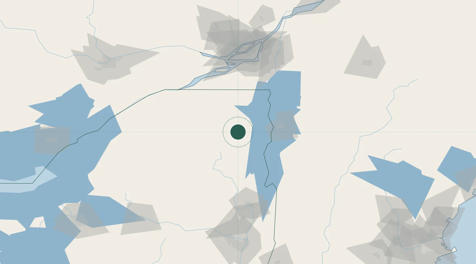
Wilmington
44.3833°, -73.8167°
937
Population
2
Transport functions
Transport Functions
Road
Multimodal
Hub Profile
Place type
Populated place
Region
New York
Population
937
Time zone
America/New_York
Elevation
309 m
Location
Nearby Logistics Neighbours
Cities
- 1Upper Saint Regis36 km
- 2Winooski50 km
- 3Tupper Lake55 km
- 4Stain George56 km
- 5Weybridge62 km
Ports
- 1St Anicet94 km
- 2South Lancaster99 km
- 3Coteau Landing101 km
- 4Cornwall101 km
- 5St Zotique102 km
Airports
Trade Zones
- 1Greater Montreal Free Zone Center127 km
- 2FTZ No. 118 Ogdensburg139 km
- 3FTZ No. 109 Watertown172 km
- 4FTZ No. 121 Albany185 km
- 5FTZ No. 268 Brattleboro196 km
DatabookThe Record of Consolidated Knowledge
United States beyond logistics?