Transport Functions
Port
Road
Multimodal
Hub Profile
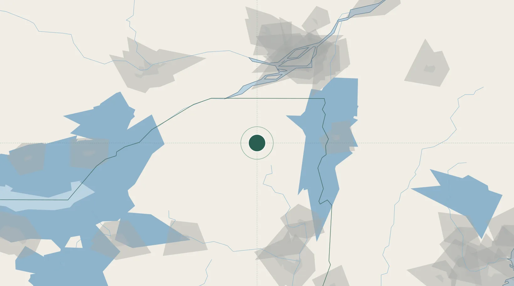
Place type
Populated place
Region
New York
Time zone
America/New_York
Elevation
501 m
Location
Nearby Logistics Neighbours
Cities
- 1Tupper Lake26 km
- 2Wilmington36 km
- 3Malone48 km
- 4Bombay64 km
- 5Norwood69 km
Ports
- 1Cornwall78 km
- 2St Anicet82 km
- 3South Lancaster84 km
- 4St Zotique95 km
- 5Coteau Landing95 km
Airports
Trade Zones
- 1FTZ No. 118 Ogdensburg104 km
- 2Greater Montreal Free Zone Center135 km
- 3FTZ No. 109 Watertown138 km
- 4FTZ No. 121 Albany191 km
- 5FTZ No. 172 Oneida County192 km
DatabookThe Record of Consolidated Knowledge
United States beyond logistics?