Transport Functions
Rail
Road
Multimodal
Hub Profile
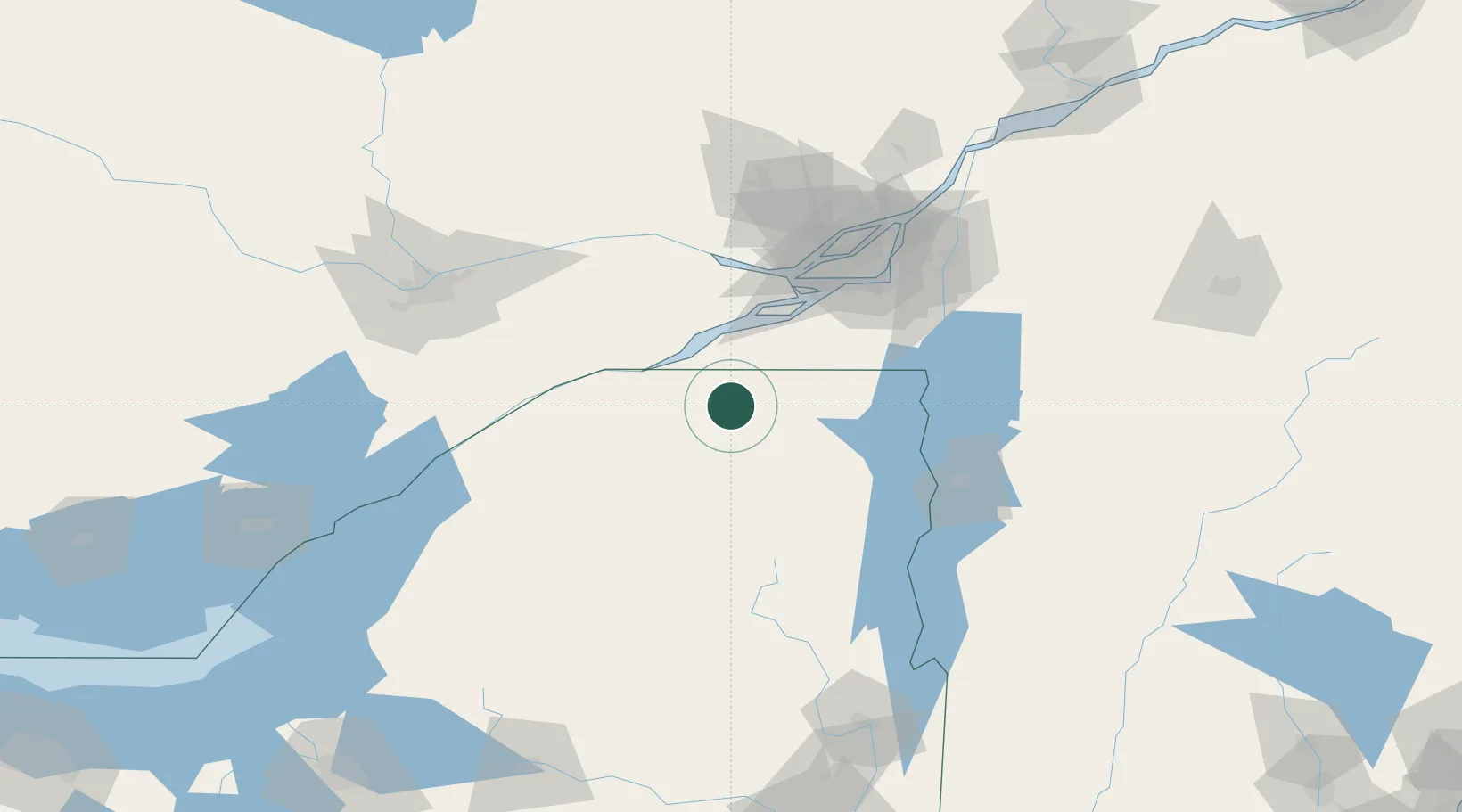
Place type
Provincial seat
Region
New York
Population
5,756
Time zone
America/New_York
Elevation
217 m
Location
Nearby Logistics Neighbours
Cities
- 1Bombay25 km
- 2Saint-Zotique45 km
- 3Rivière-Beaudette45 km
- 4Saint-Louis-de-Gonzague48 km
- 5Salaberry-de-Valleyfield48 km
Ports
- 1St Anicet34 km
- 2South Lancaster38 km
- 3Cornwall41 km
- 4St Zotique46 km
- 5Coteau Landing47 km
Airports
Trade Zones
- 1Greater Montreal Free Zone Center94 km
- 2FTZ No. 118 Ogdensburg98 km
- 3FTZ No. 109 Watertown159 km
- 4FTZ No. 172 Oneida County226 km
- 5FTZ No. 090 Onondaga237 km
DatabookThe Record of Consolidated Knowledge
United States beyond logistics?