Transport Functions
Multimodal
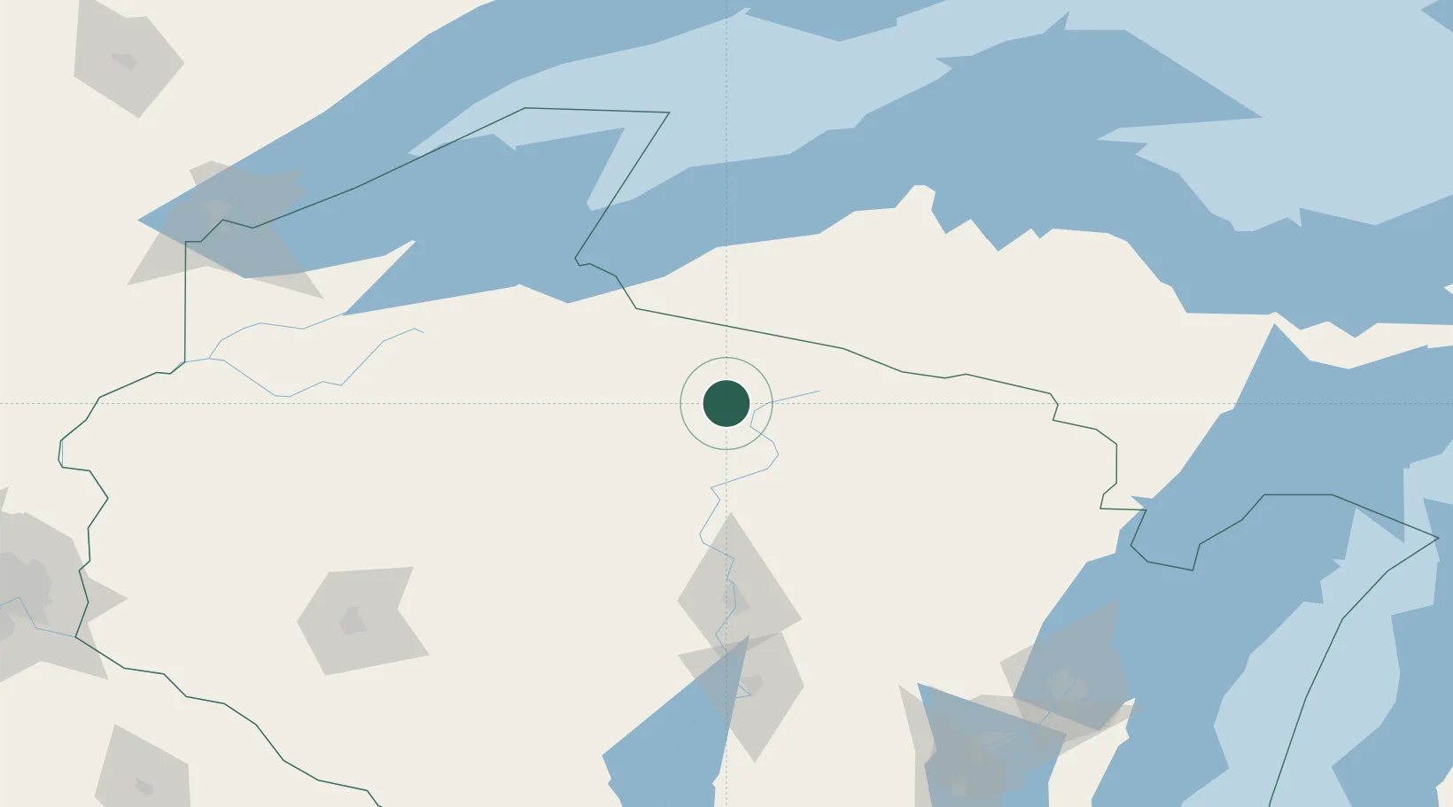
Hub Profile
Place type
Populated place
Region
Wisconsin
Population
966
Time zone
America/Chicago
Elevation
490 m
Location
Nearby Logistics Neighbours
Airports
- 1Rhinelander Oneida County Airport33 km
- 2Gogebic Iron County Airport79 km
- 3Wausau Downtown Airport107 km
- 4Ford Airport122 km
- 5Central Wisconsin Airport123 km
Trade Zones
- 1FTZ No. 167 Brown County193 km
- 2FTZ No. 051 Duluth220 km
- 3FTZ No. 119 Minneapolis-St. Paul295 km
- 4FTZ No. 266 Dane County313 km
- 5FTZ No. 041 Milwaukee338 km
DatabookThe Record of Consolidated Knowledge
United States beyond logistics?