UN/LOCODE hub · United States
USTHG
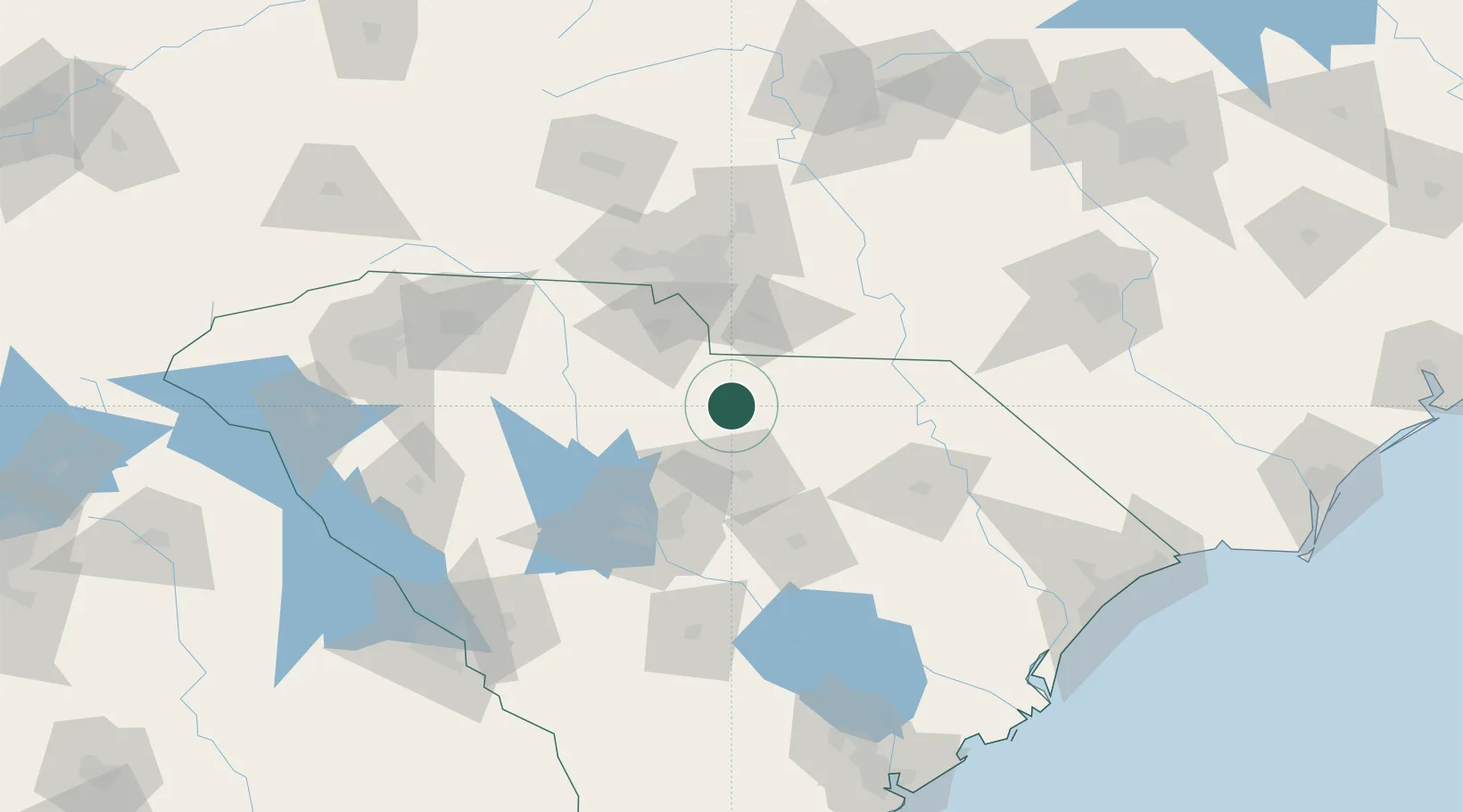
Heath Springs
34.5833°, -80.6833°
900
Population
2
Transport functions
Transport Functions
Rail
Road
Hub Profile
Place type
Populated place
Region
South Carolina
Population
900
Time zone
America/New_York
Elevation
209 m
Location
Nearby Logistics Neighbours
Cities
- 1Fort Lawn22 km
- 2Ridgeway40 km
- 3Blackstock43 km
- 4Ruby50 km
- 5Stallings56 km
Ports
- 1Georgetown187 km
- 2Charleston212 km
- 3Beaufort239 km
- 4Port Royal247 km
- 5Wilmington254 km
Airports
Trade Zones
DatabookThe Record of Consolidated Knowledge
United States beyond logistics?