Transport Functions
Road
Multimodal
Hub Profile
Place type
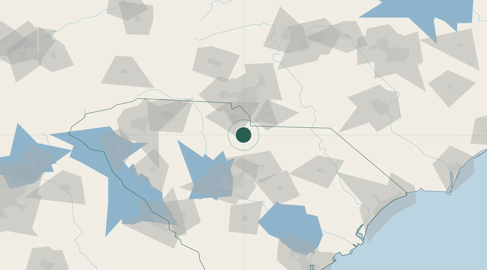
Populated place
Region
South Carolina
Population
867
Time zone
America/New_York
Elevation
162 m
Location
Nearby Logistics Neighbours
Cities
- 1Heath Springs22 km
- 2Blackstock30 km
- 3Ridgeway45 km
- 4Stallings46 km
- 5Clover56 km
Ports
- 1Georgetown209 km
- 2Charleston231 km
- 3Beaufort253 km
- 4Port Royal260 km
- 5Wilmington274 km
Airports
Trade Zones
DatabookThe Record of Consolidated Knowledge
United States beyond logistics?