UN/LOCODE hub · United States
USTCO
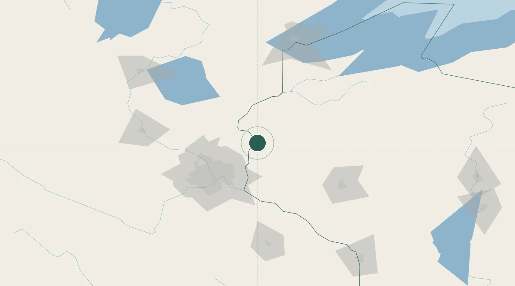
Saint Croix Falls
45.4000°, -92.6333°
2,133
Population
2
Transport functions
Transport Functions
Rail
Road
Hub Profile
Place type
Populated place
Region
Wisconsin
Population
2,133
Time zone
America/Chicago
Elevation
282 m
Location
Nearby Logistics Neighbours
Cities
- 1Wyoming28 km
- 2North Branch30 km
- 3Somerset32 km
- 4Hugo39 km
- 5Turtle Lake39 km
Ports
- 1Superior155 km
- 2Duluth157 km
- 3Ashland191 km
- 4Two Harbors195 km
- 5Washburn195 km
Airports
Trade Zones
- 1FTZ No. 119 Minneapolis-St. Paul67 km
- 2FTZ No. 051 Duluth155 km
- 3FTZ No. 259 Koochiching County345 km
- 4FTZ No. 266 Dane County349 km
- 5FTZ No. 167 Brown County358 km
DatabookThe Record of Consolidated Knowledge
United States beyond logistics?