UN/LOCODE hub · United States
USOMP
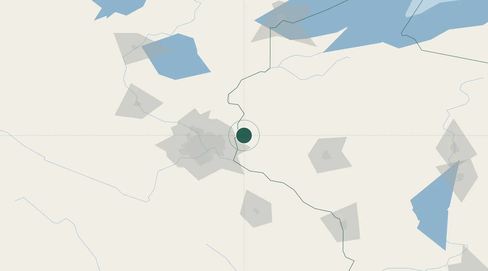
Somerset
45.1167°, -92.6667°
2,693
Population
3
Transport functions
Transport Functions
Rail
Road
Multimodal
Hub Profile
Place type
Populated place
Region
Wisconsin
Population
2,693
Time zone
America/Chicago
Elevation
257 m
Location
Nearby Logistics Neighbours
Cities
- 1Stillwater13 km
- 2Oak Park Heights13 km
- 3Roberts17 km
- 4Lake Elmo21 km
- 5Hammond25 km
Ports
- 1Superior186 km
- 2Duluth189 km
- 3Ashland216 km
- 4Washburn221 km
- 5Two Harbors225 km
Airports
Trade Zones
- 1FTZ No. 119 Minneapolis-St. Paul48 km
- 2FTZ No. 051 Duluth186 km
- 3FTZ No. 266 Dane County328 km
- 4FTZ No. 288 Northwest Iowa348 km
- 5FTZ No. 167 Brown County353 km
DatabookThe Record of Consolidated Knowledge
United States beyond logistics?