Transport Functions
Multimodal
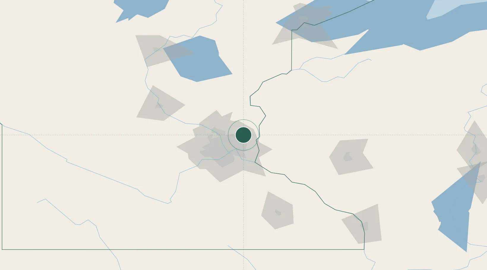
Hub Profile
Place type
Populated place
Region
Minnesota
Population
14,388
Time zone
America/Chicago
Elevation
284 m
Location
Nearby Logistics Neighbours
Cities
- 1Centerville5 km
- 2Lino Lakes12 km
- 3Circle Pines13 km
- 4Stillwater18 km
- 5Lake Elmo18 km
Ports
- 1Superior190 km
- 2Duluth192 km
- 3Ashland230 km
- 4Two Harbors232 km
- 5Washburn234 km
Airports
Trade Zones
- 1FTZ No. 119 Minneapolis-St. Paul28 km
- 2FTZ No. 051 Duluth188 km
- 3FTZ No. 288 Northwest Iowa331 km
- 4FTZ No. 266 Dane County349 km
- 5FTZ No. 220 Sioux Falls351 km
DatabookThe Record of Consolidated Knowledge
United States beyond logistics?