Transport Functions
Road
Multimodal
Hub Profile
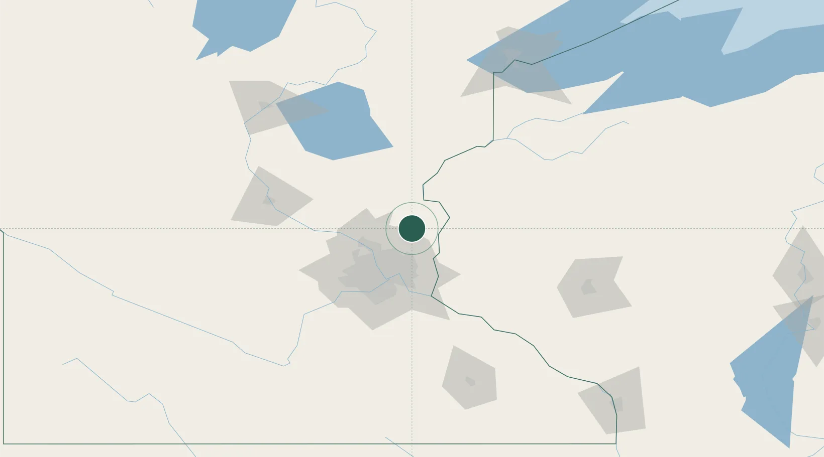
Place type
Populated place
Region
Minnesota
Population
7,813
Time zone
America/Chicago
Elevation
276 m
Location
Nearby Logistics Neighbours
Cities
- 1North Branch19 km
- 2Hugo20 km
- 3Centerville21 km
- 4Lino Lakes24 km
- 5Circle Pines24 km
Ports
- 1Superior171 km
- 2Duluth173 km
- 3Two Harbors214 km
- 4Ashland216 km
- 5Washburn220 km
Airports
Trade Zones
- 1FTZ No. 119 Minneapolis-St. Paul45 km
- 2FTZ No. 051 Duluth169 km
- 3FTZ No. 259 Koochiching County343 km
- 4FTZ No. 288 Northwest Iowa345 km
- 5FTZ No. 267 Fargo351 km
DatabookThe Record of Consolidated Knowledge
United States beyond logistics?