UN/LOCODE hub · United States
USNB2
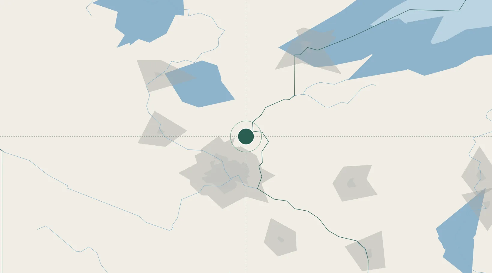
North Branch
45.5000°, -92.9833°
10,215
Population
2
Transport functions
Transport Functions
Road
Multimodal
Hub Profile
Place type
Populated place
Region
Minnesota
Population
10,215
Time zone
America/Chicago
Elevation
274 m
Location
Nearby Logistics Neighbours
Cities
- 1Wyoming19 km
- 2Cambridge20 km
- 3Isanti21 km
- 4Saint Croix Falls30 km
- 5Pine City35 km
Ports
- 1Superior154 km
- 2Duluth156 km
- 3Two Harbors197 km
- 4Ashland204 km
- 5Washburn208 km
Airports
Trade Zones
- 1FTZ No. 119 Minneapolis-St. Paul62 km
- 2FTZ No. 051 Duluth152 km
- 3FTZ No. 259 Koochiching County325 km
- 4FTZ No. 267 Fargo342 km
- 5FTZ No. 288 Northwest Iowa358 km
DatabookThe Record of Consolidated Knowledge
United States beyond logistics?