Transport Functions
Rail
Road
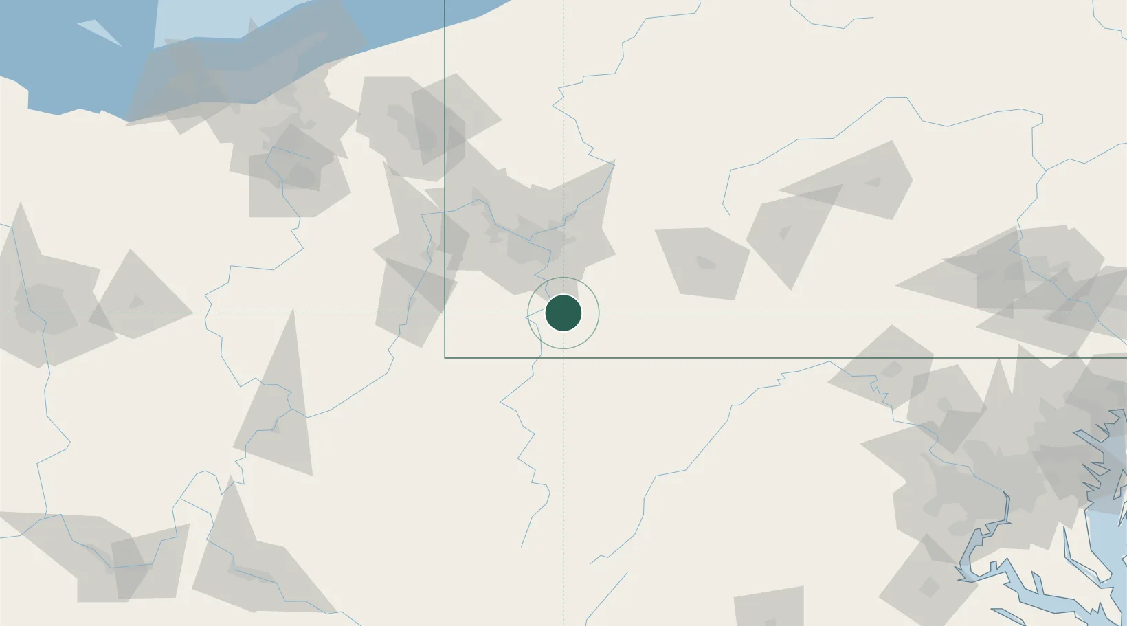
Hub Profile
Place type
Populated place
Region
Pennsylvania
Population
583
Time zone
America/New_York
Elevation
265 m
Location
Nearby Logistics Neighbours
Cities
- 1Brownsville9 km
- 2Coal Center12 km
- 3Lemont Furnace14 km
- 4Mount Braddock14 km
- 5Morgan15 km
Airports
Trade Zones
- 1FTZ No. 033 Pittsburgh53 km
- 2FTZ No. 295 Central Pennsylvania153 km
- 3FTZ No. 240 Martinsburg164 km
- 4FTZ No. 254 Jefferson County182 km
- 5FTZ No. 181 Akron Canton197 km
DatabookThe Record of Consolidated Knowledge
United States beyond logistics?