Transport Functions
Rail
Road
Hub Profile
Place type
Populated place
Region
Pennsylvania
Population
779
Time zone
America/New_York
Elevation
324 m
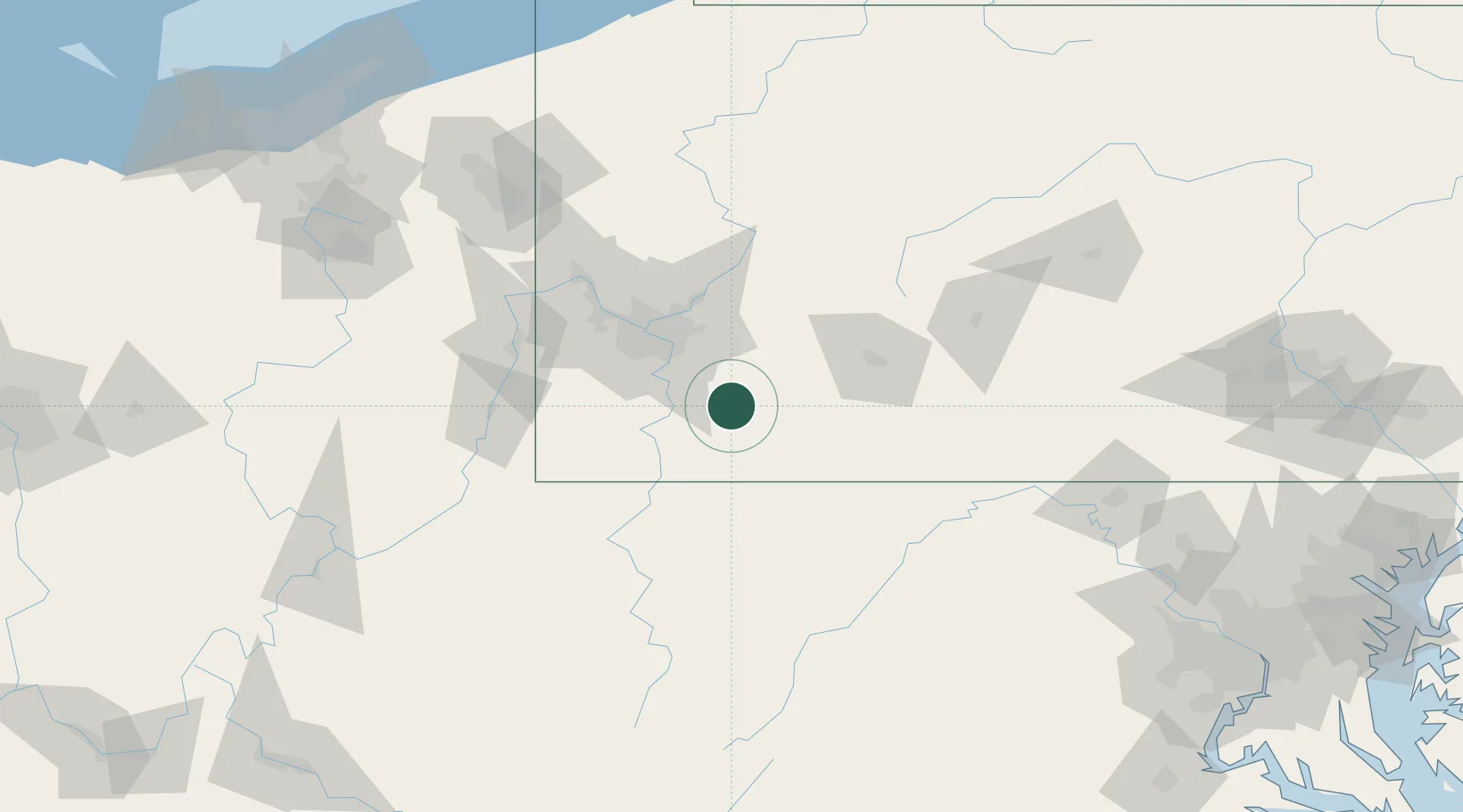
Location
Nearby Logistics Neighbours
Cities
- 1Ruffs Dale10 km
- 2Clinton11 km
- 3Hunker13 km
- 4Smithton15 km
- 5Mount Braddock15 km
Airports
Trade Zones
- 1FTZ No. 033 Pittsburgh55 km
- 2FTZ No. 295 Central Pennsylvania135 km
- 3FTZ No. 240 Martinsburg152 km
- 4FTZ No. 254 Jefferson County166 km
- 5FTZ No. 181 Akron Canton207 km
DatabookThe Record of Consolidated Knowledge
United States beyond logistics?