UN/LOCODE hub · United States
USIUS
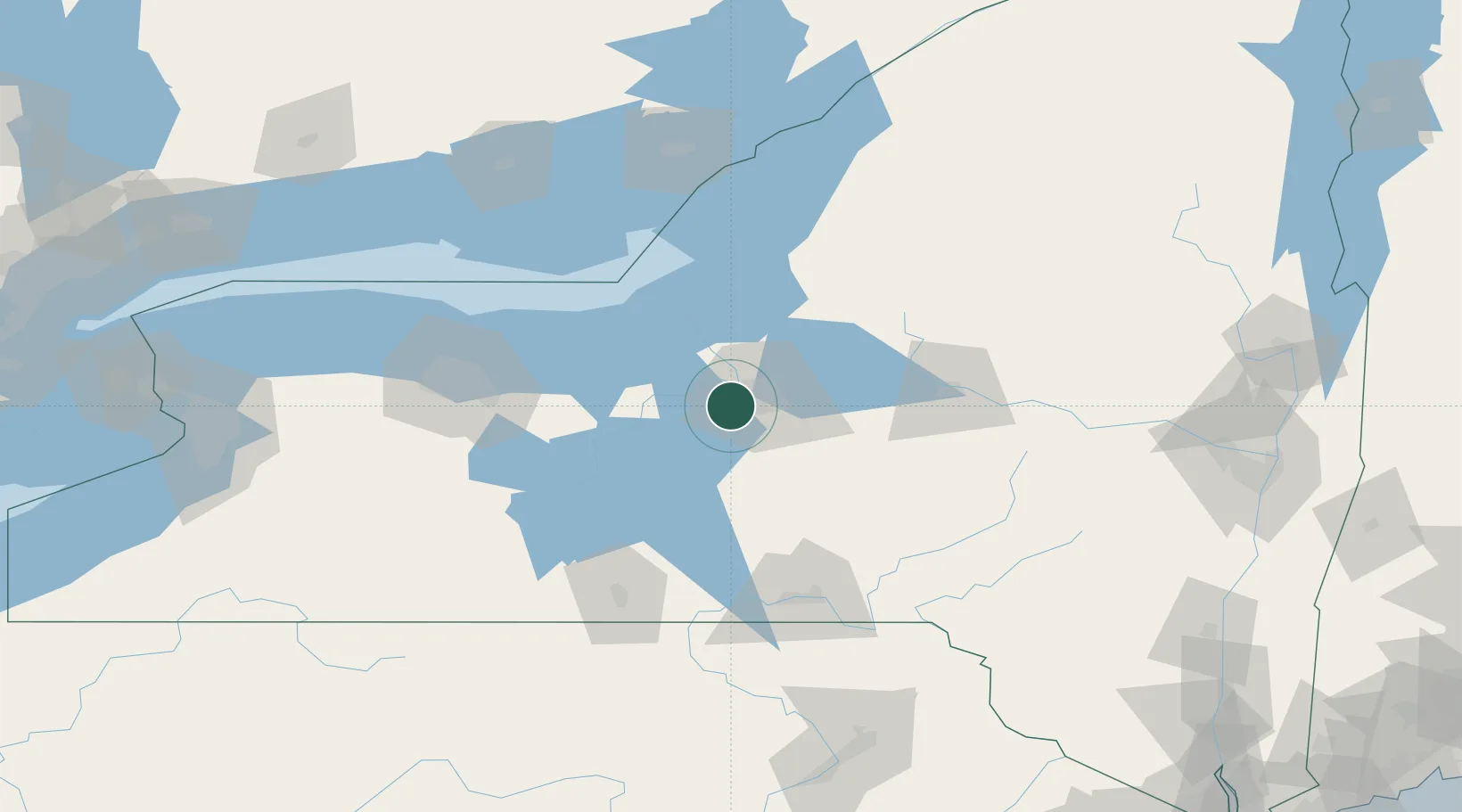
Camillus
43.0333°, -76.3000°
1,228
Population
2
Transport functions
Transport Functions
Rail
Road
Hub Profile
Place type
Populated place
Region
New York
Population
1,228
Time zone
America/New_York
Elevation
132 m
Location
Nearby Logistics Neighbours
Cities
- 1Solvay8 km
- 2Elbridge11 km
- 3Baldwinsville13 km
- 4Skaneateles15 km
- 5Plainville17 km
Ports
- 1Oswego51 km
- 2Sodus Bay61 km
- 3Rochester109 km
- 4Picton128 km
- 5Wolfe Island130 km
Airports
Trade Zones
- 1FTZ No. 172 Oneida County31 km
- 2FTZ No. 090 Onondaga51 km
- 3FTZ No. 289 Ontario County106 km
- 4FTZ No. 109 Watertown111 km
- 5FTZ No. 141 Monroe County138 km
DatabookThe Record of Consolidated Knowledge
United States beyond logistics?