Transport Functions
Rail
Road
Multimodal
Hub Profile
Place type
Populated place
Region
New York
Population
6,425
Time zone
America/New_York
Elevation
152 m
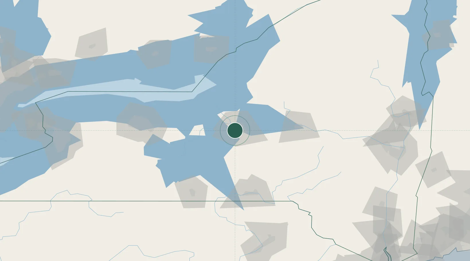
Location
Nearby Logistics Neighbours
Cities
- 1Camillus8 km
- 2Syracuse14 km
- 3Baldwinsville16 km
- 4Elbridge19 km
- 5Manlius20 km
Ports
- 1Oswego53 km
- 2Sodus Bay68 km
- 3Rochester116 km
- 4Wolfe Island129 km
- 5Picton131 km
Airports
Trade Zones
- 1FTZ No. 172 Oneida County25 km
- 2FTZ No. 090 Onondaga53 km
- 3FTZ No. 109 Watertown107 km
- 4FTZ No. 289 Ontario County115 km
- 5FTZ No. 141 Monroe County146 km
DatabookThe Record of Consolidated Knowledge
United States beyond logistics?