UN/LOCODE hub · United States
USZCZ
Cazenovia
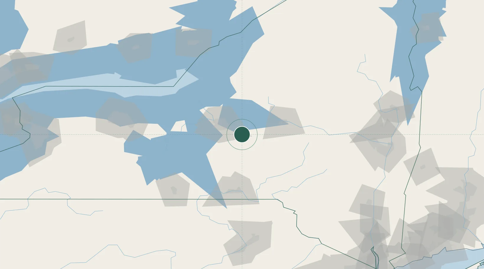
42.9333°, -75.8500°
2,855
Population
2
Transport functions
Transport Functions
Port
Road
Hub Profile
Place type
Populated place
Region
New York
Population
2,855
Time zone
America/New_York
Elevation
373 m
Location
Nearby Logistics Neighbours
Cities
- 1Manlius12 km
- 2Syracuse22 km
- 3Munnsville22 km
- 4Bridgeport26 km
- 5Rhode Island30 km
Ports
- 1Oswego80 km
- 2Sodus Bay99 km
- 3Clayton145 km
- 4Rochester147 km
- 5Wolfe Island149 km
Airports
Trade Zones
- 1FTZ No. 172 Oneida County37 km
- 2FTZ No. 090 Onondaga81 km
- 3FTZ No. 109 Watertown117 km
- 4FTZ No. 289 Ontario County141 km
- 5FTZ No. 121 Albany168 km
DatabookThe Record of Consolidated Knowledge
United States beyond logistics?