Transport Functions
Road
Multimodal
Hub Profile
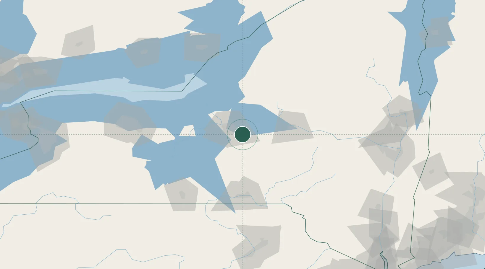
Place type
Populated place
Region
New York
Population
4,630
Time zone
America/New_York
Elevation
180 m
Location
Nearby Logistics Neighbours
Cities
- 1Syracuse10 km
- 2Cazenovia12 km
- 3Bridgeport17 km
- 4Solvay20 km
- 5Camillus27 km
Ports
- 1Oswego68 km
- 2Sodus Bay88 km
- 3Rochester136 km
- 4Clayton137 km
- 5Wolfe Island139 km
Airports
Trade Zones
- 1FTZ No. 172 Oneida County27 km
- 2FTZ No. 090 Onondaga69 km
- 3FTZ No. 109 Watertown110 km
- 4FTZ No. 289 Ontario County132 km
- 5FTZ No. 141 Monroe County165 km
DatabookThe Record of Consolidated Knowledge
United States beyond logistics?