UN/LOCODE hub · United States
USAZE
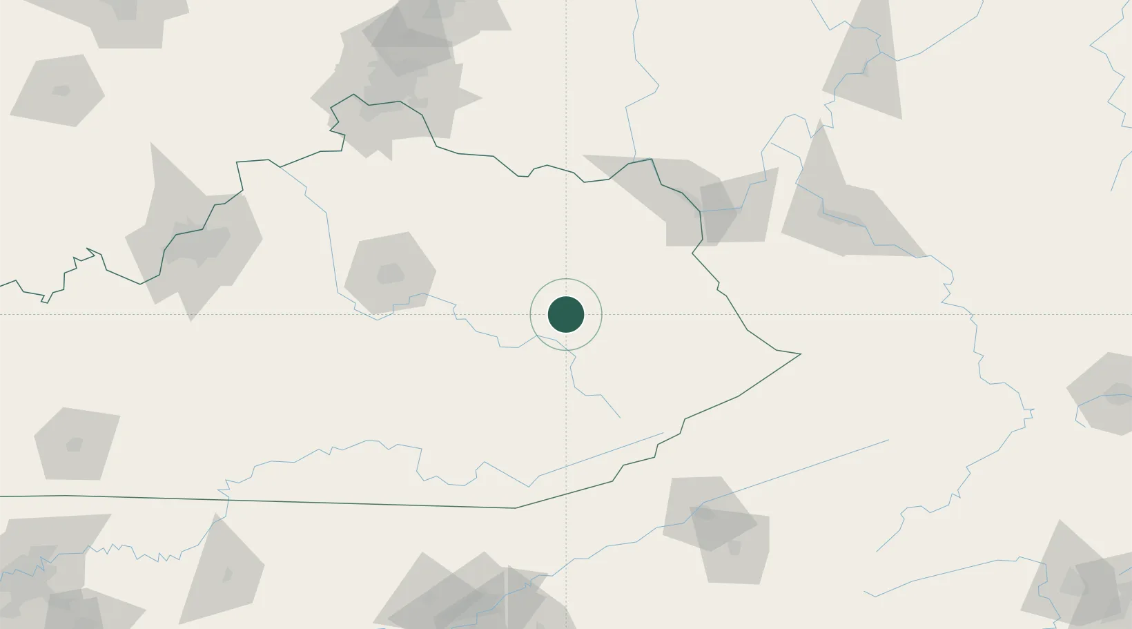
Hazel Green
37.7833°, -83.4167°
228
Population
1
Transport functions
Transport Functions
Multimodal
Hub Profile
Place type
Populated place
Region
Kentucky
Population
228
Time zone
America/New_York
Elevation
281 m
Location
Nearby Logistics Neighbours
Cities
- 1Jackson26 km
- 2Salyersville31 km
- 3Stanton39 km
- 4Jeffersonville42 km
- 5Clay City43 km
Ports
- 1Huron409 km
- 2Sandusky412 km
- 3Vermilion416 km
- 4Port Clinton417 km
- 5Lorain423 km
Airports
Trade Zones
- 1FTZ No. 229 Charleston162 km
- 2FTZ No. 204 Tri-Cities170 km
- 3FTZ No. 046 CIncinnati175 km
- 4FTZ No. 047 Boone County183 km
- 5FTZ No. 054 Clinton County186 km
DatabookThe Record of Consolidated Knowledge
United States beyond logistics?