Transport Functions
Port
Rail
Road
Hub Profile
Place type
Provincial seat
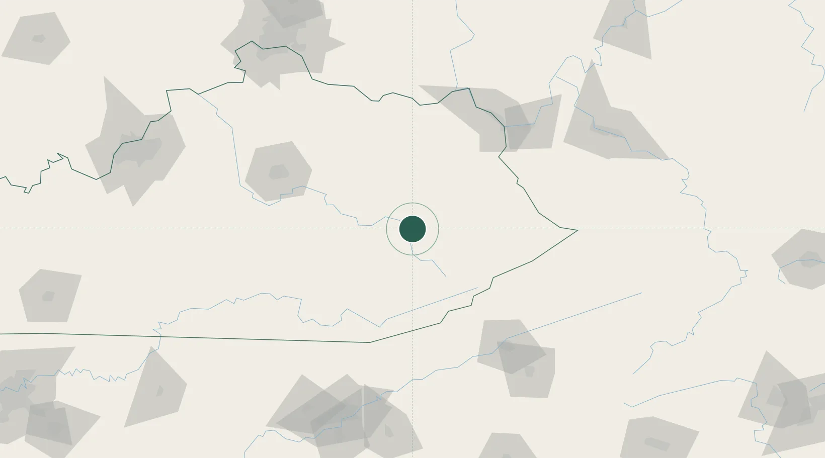
Region
Kentucky
Population
2,152
Time zone
America/New_York
Elevation
236 m
Location
Nearby Logistics Neighbours
Cities
- 1Chavies22 km
- 2Hazel Green26 km
- 3Salyersville35 km
- 4Hyden43 km
- 5Stanton53 km
Ports
- 1Huron434 km
- 2Sandusky437 km
- 3Vermilion440 km
- 4Port Clinton443 km
- 5Lorain447 km
Airports
Trade Zones
- 1FTZ No. 204 Tri-Cities146 km
- 2FTZ No. 229 Charleston170 km
- 3FTZ No. 148 Knoxville190 km
- 4FTZ No. 046 CIncinnati199 km
- 5FTZ No. 047 Boone County206 km
DatabookThe Record of Consolidated Knowledge
United States beyond logistics?